

Eyes on the skies
Stormy summer has Winnipeg on weather radar, Winnipeggers on social media
Advertisement
Read this article for free:
or
Already have an account? Log in here »
To continue reading, please subscribe:
Digital Subscription
One year of digital access for only $75*
- Enjoy unlimited reading on winnipegfreepress.com
- Read the E-Edition, our digital replica newspaper
- Access News Break, our award-winning app
- Play interactive puzzles
*Billed as $5.77 plus GST every four weeks. After 52 weeks, price increases to the regular rate of $19.95 plus GST every four weeks. Offer available to new and qualified returning subscribers only. Cancel any time.
Monthly Digital Subscription
$4.99/week*
- Enjoy unlimited reading on winnipegfreepress.com
- Read the E-Edition, our digital replica newspaper
- Access News Break, our award-winning app
- Play interactive puzzles
*Billed as $19.95 plus GST every four weeks. Cancel any time.
To continue reading, please subscribe:
Add Free Press access to your Brandon Sun subscription for only an additional
$1 for the first 4 weeks*
- Enjoy unlimited reading on winnipegfreepress.com
- Read the E-Edition, our digital replica newspaper
- Access News Break, our award-winning app
- Play interactive puzzles
*Your next Brandon Sun subscription payment will increase by $1.00 and you will be charged $17.95 plus GST for four weeks. After four weeks, your payment will increase to $24.95 plus GST every four weeks.
Read unlimited articles for free today:
or
Already have an account? Log in here »
Hey there, time traveller!
This article was published 05/09/2016 (3548 days ago), so information in it may no longer be current.
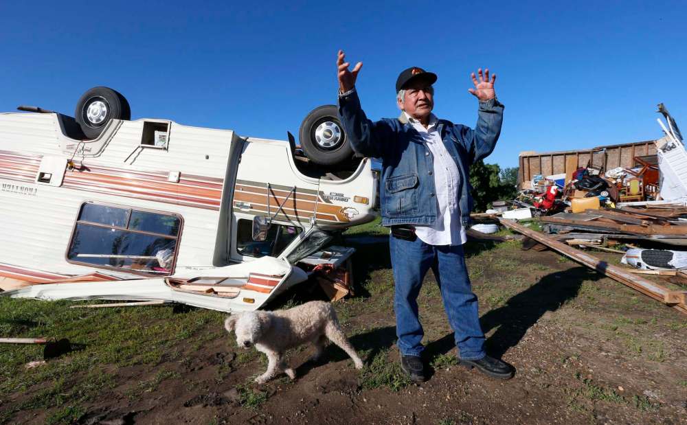
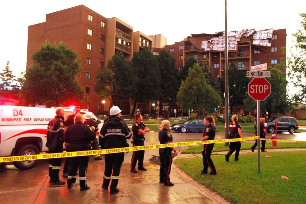
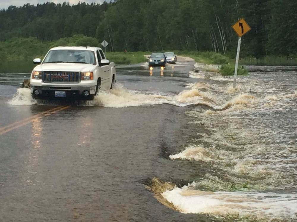
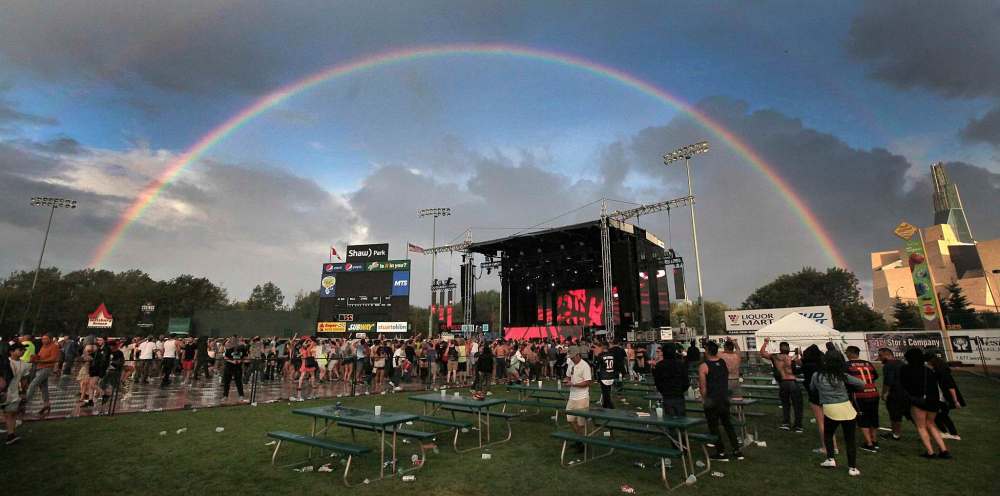
Winnipeg has received its share of interesting weather this summer.
Natalie Hasell, a warning preparedness meteorologist with Environment Canada, said city’s weather this summer has kept staff busy at the forecast office, adding southern Manitoba has experienced a lot of storms throughout the evenings and overnight.
Normally, Hasell said, such disturbances occur during the day, but the provincial capital has experienced many strong storms late into the evening.
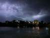
“It’s certainly been a summer for lightning shows,” she said.
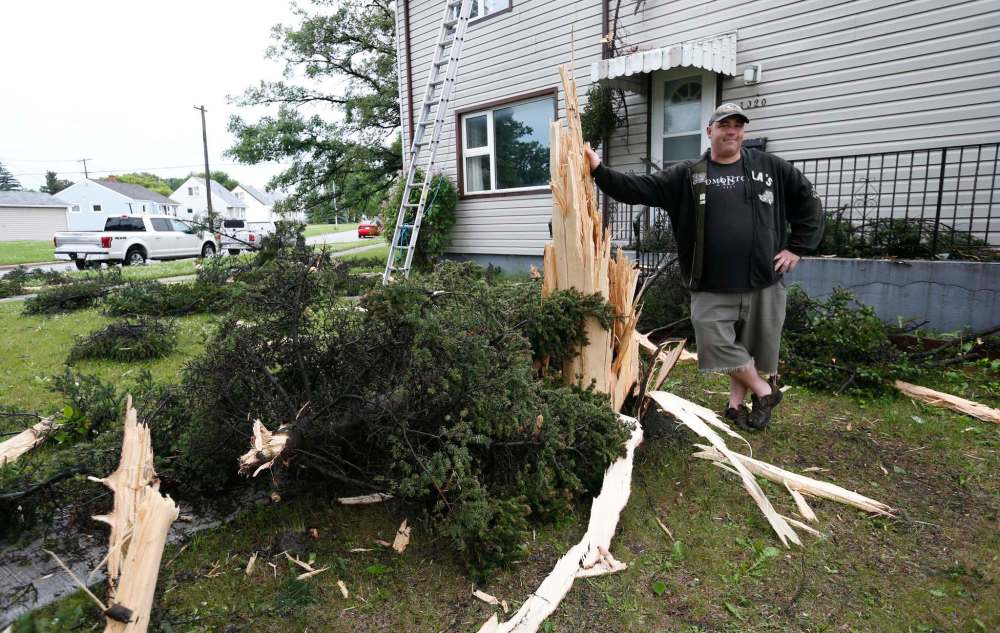
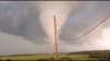
Some of these storms developed into tornadoes, with a few touching down in southern parts of the province. It’s difficult to outline what’s considered “normal” when it comes to tornadoes and other severe types of weather because the technology people have access to is always evolving, Hasell said.
With the growth of populations (and cities and towns), she said, there are more people around to witness outstanding weather events.
“So, whereas now, if something happened or if somebody thought that they were having a rather good lunch, they could take a photo of it and send it to social media within seconds, right?” she said. “Not even five years ago, it would take a very long time to get that type of information.”
It was only a few years ago, weather-interested people would have had to share information solely via email: first taking photos of weather with a digital camera, downloading the photos, sending them to Environment Canada and then calling the office to make sure it received the photo, Hasell said.
“I would say we’re actually seeing, not necessarily more severe thunderstorm events, just more severe thunderstorm event reports,” said Hasell. “Because we’re all tuned into things like Twitter, Facebook and so on… are we actually seeing more events? Well, I can say maybe, but I don’t know. But we’re certainly getting many more reports of the same events.
“There are many more people in these places than there used to be.”
Winnipeg Weather from June to August 2016:
June 2016
Warmest day: 30 C — June 10
Coldest day: 12.8 C — June 1
Wettest day: 27.5 mm — June 19
No. of days above 30 C: one (30.3, June 10)
Windiest day: June 19 (gusts at 72 km/h)
Average temperature as compared to normal average temperature:
June 2016 average temperature: 17 C
Average June temperature from 1981-2010: 17 C
Total rainfall for June: 103.4 mm
July 2016
Warmest day: 31.7 C — July 20
Coldest day: 19.5 C — July 13
Wettest day: 22.2 mm — July 4
No. of days above 30 C: one (31.7, July 20)
Windiest day: July 20 (gusts at 107 km/h)
Average temperature as compared to normal average temperature:
July 2016 average temperature: 19.3 C
Average July temperature from 1981-2010: 18.8 C
Total rainfall for July: 82.7 mm
August 2016
Warmest day: 30 C — Aug. 17
Coldest day: 20.6 C — Aug. 31
Wettest day: 14.4 mm — Aug. 1
No. of days above 30 C: five (30.1, Aug. 3; 30.1, Aug. 15; 30.9, Aug. 17; 31.2, Aug. 22; 30, Aug. 28)
Windiest day: Aug. 3 (gusts at 72 km/h)
Average temperature as compared to normal average temperature:
August 2016 average temperature: 19 C
Average August temperature from 1981-2010: 18.8 C
Total rainfall for August: 45.4 mm
May to August 2016:
147 severe hail events in Manitoba (defined as hail diameter two centimetres or greater)
55 severe wind events in Manitoba (defined as wind greater than 90 km/h)
20 heavy rain/thunderstorm/torrential downpour events in Manitoba (defined as 50 ml rain in an hour or less)
12 confirmed tornadoes in Manitoba
Related Articles
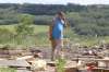
Storm aftermath on Long Plain FN

Advertisement Advertise With Us
Advertisement Advertise With Us