


New bike path impressive

Advertisement
Hey there, time traveller!
This article was published 13/07/2020 (2076 days ago), so information in it may no longer be current.
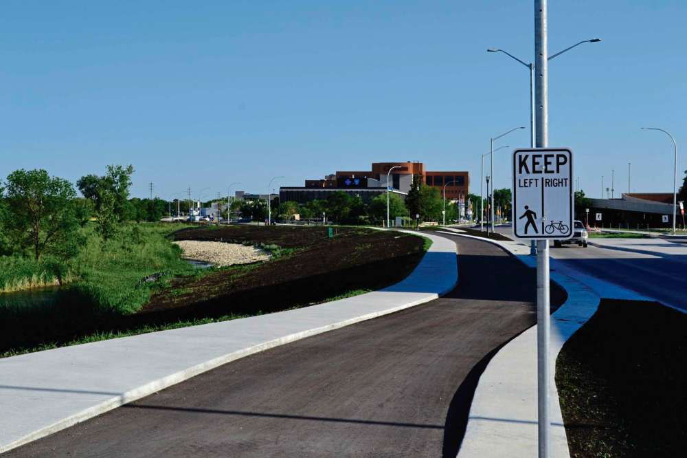
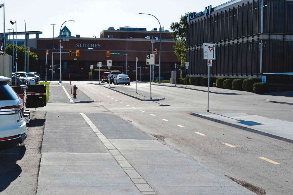
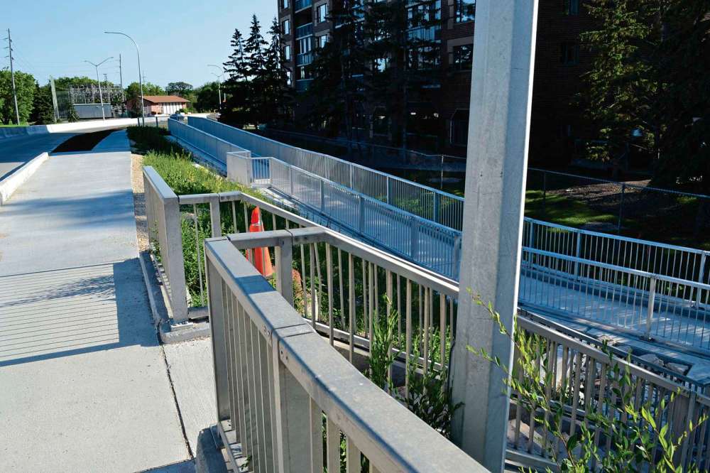
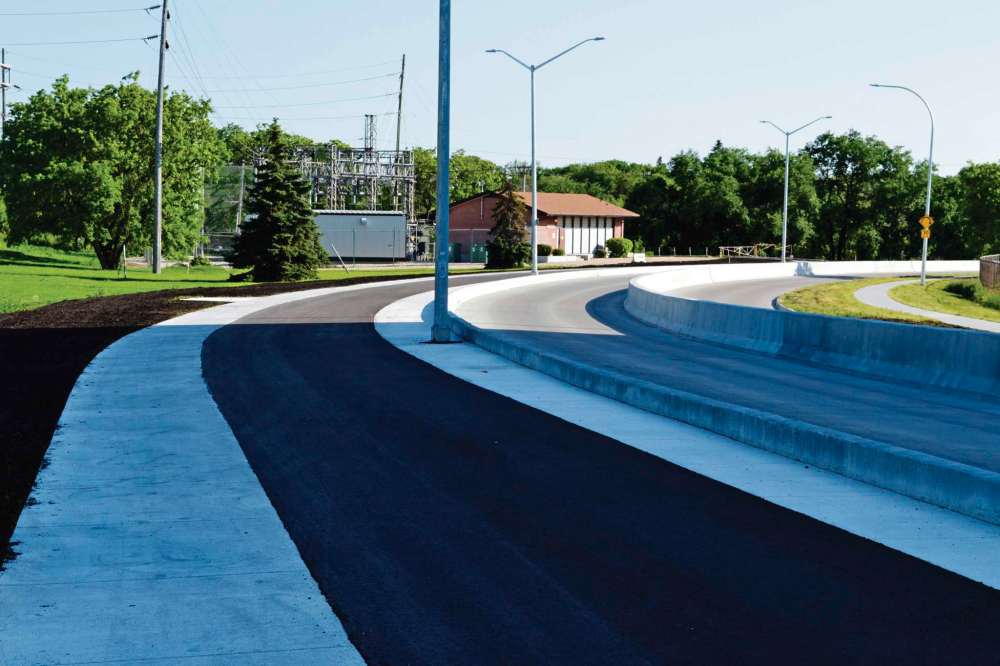
As part of reconstruction and rehabilitation of Empress Street and the Empress Street overpass, the City of Winnipeg’s public works department has created a new active transportation route, which is now open for use by cyclists and pedestrians. (Clockwise from top right) The view looking south along Empress Street from the southeast corner of Empress and Maroons Road. (Bottom right) The view north from the same vantage point; the new trail extends to St. Matthews Avenue. (Bottom left) Westway, heading west from Empress Street East towards Polo Park, now features a protected bike lane. (Top left) The view from the east side of the Empress Street overpass. The new route connects with the trail that runs along the north bank of the Assiniboine River.

John Kendle
Managing editor, Free Press Community Review
John Kendle is managing editor of the Free Press Community Review. Email him at: john.kendle@freepress.mb.ca
Our newsroom depends on a growing audience of readers to power our journalism. If you are not a paid reader, please consider becoming a subscriber.
Our newsroom depends on its audience of readers to power our journalism. Thank you for your support.
Advertisement Advertise With Us
Advertisement Advertise With Us