


The origins of Elmwood

Advertisement
Hey there, time traveller!
This article was published 25/10/2023 (742 days ago), so information in it may no longer be current.
In my last column, I described the demographic changes in Elmwood over 20 years by looking at the 2021 and 2001 censuses. I did not, however, explicitly define Elmwood. Many Winnipeggers have a basic idea of where the neighbourhood is but may not have an understanding of its exact borders and what distinguishes it from East Kildonan.
For my column, I used census data from the R2L postal code area, which has the same boundaries as Elmwood. The R2K postal code area, by contrast, has the same boundaries as East Kildonan.
The dividing line between East Kildonan and Elmwood is the back lane between Larsen Avenue and Harbison Avenue.
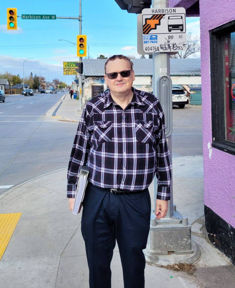
Photo by Dylon Martin
Jim Smith is president of the North East Winnipeg Historical Society.
“People call further north Elmwood, but that’s not it. That’s not historically accurate” said Jim Smith, president of the North East Winnipeg Historical Society.
Elmwood was actually one of the last parts of what is now northeast Winnipeg to be developed in the 19th century. This is so because the low-lying, swampy, flood-prone land of Elmwood was not ideal for agriculture and permanent homes.
Elmwood’s early history of development was as part of the Municipality of Kildonan, which included parts of what would become East Kildonan, North Kildonan, Old Kildonan, West Kildonan, and the North End.

The Louise Bridge was constructed for rail traffic and opened in 1881. This spurred development in Elmwood around what would become Nairn Avenue. Stores, a farmers’ market, and other businesses soon emerged. Smith noted that this area is the oldest part of Elmwood, giving it its initial name of the Louise Bridge District.
“Elmwood got its name from the cemetery. The cemetery was created in 1902. Before that I was not able to find any mention of the area being called Elmwood,” Smith said.
In 1896, the largely English-speaking population of the northern tip of the Town of St. Boniface joined Kildonan, owing to dissatisfaction with services, including road access, in St. Boniface. In 1906, the southern part of Kildonan, including what was once the northern edge of St. Boniface, separated from the rural municipality to join the City of Winnipeg to receive better city services.
Smith noted Elmwood had a wave of development in the early 20th century that slowed considerably by the 1920s. After the Second World War, a new torrent of growth occurred, going eastwards to Panet Road.
“By the time you get to the mid-1960s, basically all of Elmwood has been built up” Smith said.
Dylon Martin
Elmwood community correspondent
Dylon Martin is a community correspondent for Elmwood.
Our newsroom depends on a growing audience of readers to power our journalism. If you are not a paid reader, please consider becoming a subscriber.
Our newsroom depends on its audience of readers to power our journalism. Thank you for your support.
Advertisement Advertise With Us
Advertisement Advertise With Us