


Making the Great Trail accessible
Advertisement
Hey there, time traveller!
This article was published 27/02/2021 (1894 days ago), so information in it may no longer be current.
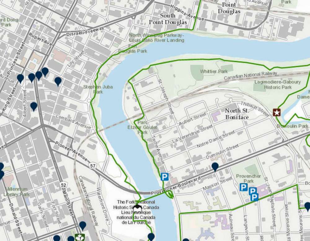
Five kilometres of the Great Trail in Winnipeg are under inspection to improve accessibility along the path.
Trans Canada Trail and AccessNow, a start-up that maps accessibility in countries across the world, are working with the Canadian Paralympic Committee and athletes to outline, address and remove barriers along sections of the Great Trail across Canada. In Winnipeg, this includes routes through the North Winnipeg Parkway and The Forks.
Last fall, Winnipeg paralympian Colin Mathieson, who is the city’s representative for the project, embarked on the trail to identify obstacles using GPS technology and a 360-degree camera.
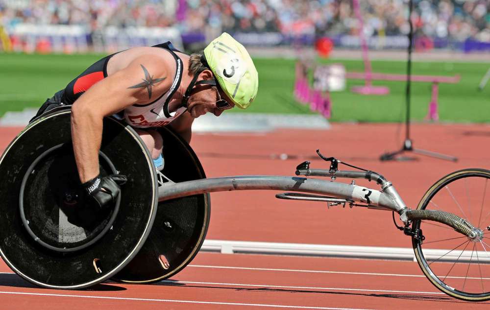
“To be honest, this was a pretty well-done trail. There were a few rough spots where it went from like, packed gravel to quarter-round gravel — more like rock,” Mathieson said.
Trans Canada Trail will work with trail operators to implement recommendations from Mathieson and other athletes across the country to improve experiences for people with physical disabilities. The information should be added to the AccessNow app by spring.
Improving accessibility along the trail means more people will be able to use it, which is especially important now that most sports are suspended and fitness centres are operating at reduced capacity.
“Canadians have told us that during these difficult times, they value access to natural spaces to stay active, take care of their mental health, and socially connect with others while respecting physical distancing and public health directives,” Eleanor McMahon, president and chief executive officer of Trans Canada Trail, said in a news release.
Allen Mankewich, a wheelchair user who has advocated for accessibility in a variety of areas including active transportation, said he’s glad the project is including people with disabilities in the process.
“I think one of the good things about the approach they’re taking is that they’re including people with disabilities in the actual work of mapping out sections of the trail. Because when it comes to accessibility … I think it’s important that people with lived experience are actually involved in the work,” he said.
“But it’s important to consider the accessibility for a variety of different disabilities. You know, not everyone’s a wheelchair user— that tends to be what we think about when we think about disability. But there’s a variety of people with a variety of different disabilities.”
The AccessNow app relies on crowd-sourced data, meaning users can enter information based on their own experiences.
As someone who has never trekked the North Winnipeg Parkway, Mankewich said this project may encourage him to try it out once the information becomes available.
“Sometimes I’ll go somewhere and I’ll realize, ‘oh, it’s not accessible,’ and it just feels like a waste of time and energy,” he said.
“Having that information ahead of time, being able to look it up and find it easily … would help people feel more confident and comfortable before they head out.”
The Great Trail of Canada spans more than 27,000 kilometres. Thirteen trail sections across 10 provinces and one territory are being mapped and reviewed for the project.