

26 Winnipeg homeowners advised to build sandbag dikes
Advertisement
Read this article for free:
or
Already have an account? Log in here »
To continue reading, please subscribe:

Digital Subscription
One year of digital access for only $205*
- Enjoy unlimited reading on winnipegfreepress.com
- Read the E-Edition, our digital replica newspaper
- Access News Break, our award-winning app
- Play interactive puzzles
*First annual payment billed as $205.00 + GST for one year. This annual subscription will automatically renew at $233.00 + GST every 52 weeks (10% off the regular annual price of $259.35). Offer available to new and qualified returning subscribers only. Cancel any time.
To continue reading, please subscribe:
Add Free Press access to your Brandon Sun subscription for only an additional
$1 for the first 4 weeks*
- Enjoy unlimited reading on winnipegfreepress.com
- Read the E-Edition, our digital replica newspaper
- Access News Break, our award-winning app
- Play interactive puzzles
*Your next Brandon Sun subscription payment will increase by $1.00 and you will be charged $17.95 plus GST for four weeks. After four weeks, your payment will increase to $24.95 plus GST every four weeks.
Read unlimited articles for free today:
or
Already have an account? Log in here »
Hey there, time traveller!
This article was published 28/03/2013 (4948 days ago), so information in it may no longer be current.
Owners of 26 low-lying Winnipeg properties – almost all in the south extreme in the city – will be advised to build sandbag dikes as a precaution against elevated Red River levels in April.
After crunching provincial hydrological projections, city flood-protection officials have come up with a worst-case spring flood-protection scenario based on a Red River crest of 20.5 feet above normal winter ice levels at the James Avenue monitoring station.
That scenario – basically, a one-in-10 chance at this point – would see the Red lap at 26 properties along Cloutier Drive, St. Pierre Road, Forbes Road, Christie Road, Rue Trappiste, Kilkenny Drive and St. Mary’s Road.
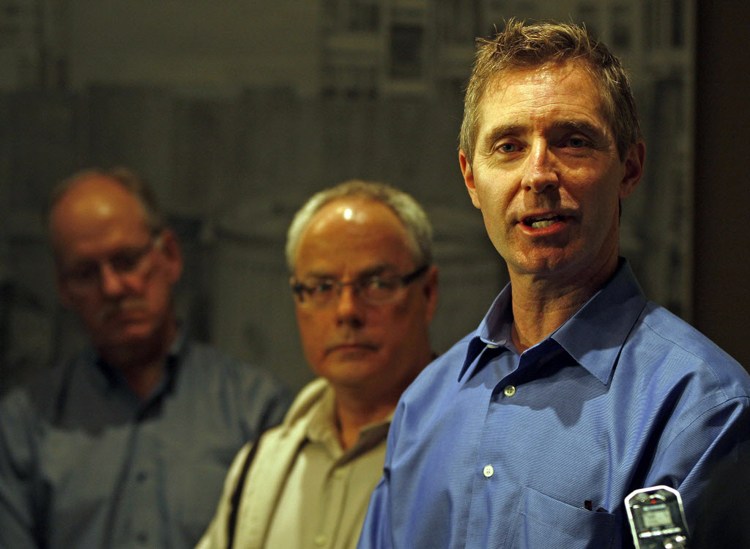
City officials will visit owners of all those properties in person by April 5, said Grant Mohr, the city’s flood-planning engineer.
These properties will require 32,000 sandbags, but 85,000 will be made to cover the possibility of overland flooding in other areas of the city.
Sandbags are vailable for pickup at city depots on 1539 Waverley Street, 1220 Pacific Avenue and 849 Ravelstone Avenue West between 10 a.m. and 6 p.m. daily.
City crews are working 24/7 to clear snow and ice away from curb inlets and culverts. Property owners can contact 311 if they have a problem with a frozen catch basin or culvert that is a threat to their property.

It is more likely the Red will crest in Winnipeg at 18.8 feet James. The city’s flood-protection plans are based on a worst-case scenario where the Red crests at 20.5 feet while ice remains on the river downstream of the floodway control structure.
That is the reason most of the properties slated for sandbagging are in southernmost section of the city. Most of those property owners are accustomed to flood fights, added Scott Payne, flood coordinator with the city’s public works department.
Mohr, Payne and emergency preparedness coordinator Randy Hull said Winnipeg is well-prepared for the coming flood, given the extensive recent experience with flooding.
Since the 1997 Flood of the Century, which saw the Red crest at a post-floodway-construction record of 24.5 feet James, there have been nine spring floods in 14 years.
Hull urged Winnipeggers to reassure newcomers to the city that the primary threat during flood seasons is overland runoff, not rising river levels.
History
Updated on Thursday, March 28, 2013 11:50 AM CDT: Updates from the news conference.
Updated on Thursday, March 28, 2013 12:20 PM CDT: Updates headline.
Updated on Thursday, March 28, 2013 12:52 PM CDT: Adds quotes.
Updated on Thursday, March 28, 2013 1:34 PM CDT: Corrects figure.