

Province’s highway map upgraded, available online
Advertisement
Read this article for free:
or
Already have an account? Log in here »
To continue reading, please subscribe:
Monthly Digital Subscription
$1 per week for 24 weeks*
- Enjoy unlimited reading on winnipegfreepress.com
- Read the E-Edition, our digital replica newspaper
- Access News Break, our award-winning app
- Play interactive puzzles
*Billed as $4.00 plus GST every four weeks. After 24 weeks, price increases to the regular rate of $19.00 plus GST every four weeks. Offer available to new and qualified returning subscribers only. Cancel any time.
Monthly Digital Subscription
$4.75/week*
- Enjoy unlimited reading on winnipegfreepress.com
- Read the E-Edition, our digital replica newspaper
- Access News Break, our award-winning app
- Play interactive puzzles
*Billed as $19 plus GST every four weeks. Cancel any time.
To continue reading, please subscribe:
Add Winnipeg Free Press access to your Brandon Sun subscription for only
$1 for the first 4 weeks*
*$1 will be added to your next bill. After your 4 weeks access is complete your rate will increase by $0.00 a X percent off the regular rate.
Read unlimited articles for free today:
or
Already have an account? Log in here »
Hey there, time traveller!
This article was published 09/10/2012 (4725 days ago), so information in it may no longer be current.
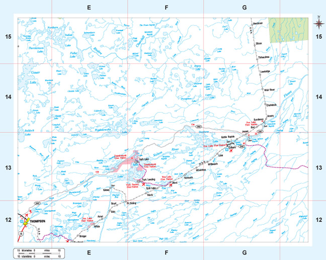
Manitoba’s highway map has been upgraded to provide more details on the 511 traveller information system, Infrastructure and Transportation Minister Steve Ashton said today.
The map is also available online, which shows an overview of the province. Users can then select specific regions, which can be enlarged to provide more detail and downloaded.
The new map also features a local artist Glenn Hayes painting of a Manitoba highway scene.
“We continue to use the provincial highway map, which is distributed free of charge, to boost tourism opportunities in Manitoba,” Ashton said.

The new map has been updated to include details on how to access road information through the 511 system and Twitter @MBGovRoads, and to show five new recently created provincial parks.
The maps are free and Travel Manitoba distributes them at various locations such as travel information centres, The Forks and border crossings. They are also available through CAA Manitoba, chambers of commerce and offices of Manitoba Infrastructure and Transportation.