

Snow out west, long winter increase flood risk slightly
Advertisement
Read this article for free:
or
Already have an account? Log in here »
To continue reading, please subscribe:
Monthly Digital Subscription
$1 per week for 24 weeks*
- Enjoy unlimited reading on winnipegfreepress.com
- Read the E-Edition, our digital replica newspaper
- Access News Break, our award-winning app
- Play interactive puzzles
*Billed as $4.00 plus GST every four weeks. After 24 weeks, price increases to the regular rate of $19.95 plus GST every four weeks. Offer available to new and qualified returning subscribers only. Cancel any time.
Monthly Digital Subscription
$4.99/week*
- Enjoy unlimited reading on winnipegfreepress.com
- Read the E-Edition, our digital replica newspaper
- Access News Break, our award-winning app
- Play interactive puzzles
*Billed as $19.95 plus GST every four weeks. Cancel any time.
To continue reading, please subscribe:
Add Free Press access to your Brandon Sun subscription for only an additional
$1 for the first 4 weeks*
*Your next subscription payment will increase by $1.00 and you will be charged $16.99 plus GST for four weeks. After four weeks, your payment will increase to $23.99 plus GST every four weeks.
Read unlimited articles for free today:
or
Already have an account? Log in here »
Hey there, time traveller!
This article was published 10/04/2013 (4732 days ago), so information in it may no longer be current.
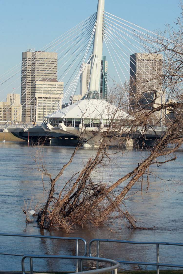
More snow in Saskatchewan and a winter that refuses to go away saw Manitoba flood fighters today revise the spring flood forecast — but only slightly.
In the third 2013 spring flood outlook, the province says the additional snowfall in Saskatchewan and continued cooler-than-normal temperatures have delayed snow melt beyond the normal spring thaw.
The cold weather has also kept frost in the ground longer than normal across Manitoba, increasing the likelihood of moderate-to-major flooding for the Assiniboine and Souris Rivers.
Plus, based on information from American forecasters, the revised outlook indicates the flood risk has increased from minor-to-moderate to moderate-to-major for the Roseau and Pembina Rivers.
At the same time, the flood risk hasn’t changed dramatically for the Red River Valley. Along the Red River, the the risk remains for a moderate-to-major.
Flood forecasters are still calling for a flood on par for what Manitobans experienced in 2009 when ice jams along the Red River played a key part in the flood fight.
To meet that, ice-breakers have smashed 29 kilometres of river ice from Selkirk to Lake Winnipeg to aid in the break up.
Out west, the Shellmouth Reservoir has already been drawn down to one foot below what it was going into the 2011 flood on the Assiniboine River.
Flood depends on weather
The province also says what happens over the next two weeks will set the stage for how severe flooding may be.
The delayed melt has left major rivers and tributaries with thick ice cover and below-normal flows for the month of April.
Additional snow and rain, the timing and rate of the spring thaw and the timing of peak flows in Manitoba, the U.S. and other provinces will have a significant effect on flood potential. A slow, gradual melt with little precipitation would keep the flood threat in check.
The revised update says with unfavourable conditions, the towns of Melita and Souris will need additional flood protection.
There could also be major flooding through the valley to Brandon with unfavourable weather conditions, though it would be expected at levels much lower than those of 2011.

The Portage Diversion will also be used this spring, but nothing like it was in 2011 when Lake Manitoba flooded, the province says.
The province says the diversion will be required to manage ice jamming on the Assiniboine River east of Portage and to provide flood protection to Winnipeg. The flow range is expected to be between 9,400 cubic feet per second (cfs) and 18,500 cfs depending on weather conditions, less than the 35,000 cfs seen during the height of the 2011 flood.
On the Red River, the province says Highway 75 will be closed like it was in 2009. A PTH 75 detour was in place for 36 days in 2009 and 44 day in 1997. No Red River Valley communities are expected to lose road access.
The detailed outlook with text and charts is available on the province’s website.
Up-to-date flood information can be found at www.manitoba.ca/flooding, on mobile devices at www.manitoba.ca, on Twitter at www.twitter.com/MBGov or at 1-866-626-4862.
History
Updated on Wednesday, April 10, 2013 3:38 PM CDT: updates live
Updated on Wednesday, April 10, 2013 4:01 PM CDT: Updates text.
Updated on Wednesday, April 10, 2013 4:07 PM CDT: Adds more detailed information.