

Red’s crest ends threat in city; flood focus along Assiniboine, other areas
Advertisement
Read this article for free:
or
Already have an account? Log in here »
To continue reading, please subscribe:
Monthly Digital Subscription
$1 per week for 24 weeks*
- Enjoy unlimited reading on winnipegfreepress.com
- Read the E-Edition, our digital replica newspaper
- Access News Break, our award-winning app
- Play interactive puzzles
*Billed as $4.00 plus GST every four weeks. After 24 weeks, price increases to the regular rate of $19.00 plus GST every four weeks. Offer available to new and qualified returning subscribers only. Cancel any time.
Monthly Digital Subscription
$4.75/week*
- Enjoy unlimited reading on winnipegfreepress.com
- Read the E-Edition, our digital replica newspaper
- Access News Break, our award-winning app
- Play interactive puzzles
*Billed as $19 plus GST every four weeks. Cancel any time.
To continue reading, please subscribe:
Add Winnipeg Free Press access to your Brandon Sun subscription for only
$1 for the first 4 weeks*
*$1 will be added to your next bill. After your 4 weeks access is complete your rate will increase by $0.00 a X percent off the regular rate.
Read unlimited articles for free today:
or
Already have an account? Log in here »
Hey there, time traveller!
This article was published 05/04/2017 (3075 days ago), so information in it may no longer be current.
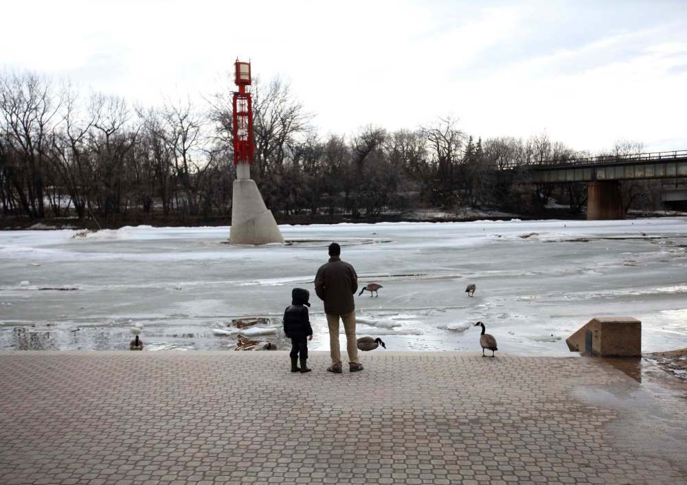
The Red River has crested in Winnipeg, but the Assiniboine River west of the city is now the body of water the province is watching closely.
Manitoba Infrastructure’s Hydrologic Forecast Centre announced Wednesday that the Red River crested at 19.4 feet at James Avenue Tuesday.
Had the floodway not been opened, the province said the river would have crested at the James Avenue monitoring station more than five feet higher, at 24.9 feet. The river was down to 18.7 feet Wednesday.
Now the focus is on the Assiniboine River from Headingley to Portage la Prairie as ice begins to move, increasing the chances of jams.
The Portage Diversion is being operated, sending more water into Lake Manitoba to decrease the chance of ice jams, but the province is warning that as the water flows increase, and the diversion reaches its capacity, more water will be forced to go downstream in the river.
A flood watch has also been issued for the Boyne River downstream of Carman, Plum Creek, and the Brokenhead, Red Deer and LaSalle rivers.

The province has also issued a flood warning for the Birdtail and Pipestone creeks, the Assiniboine River from the Shellmouth Dam to Holland, the Morris, Pembina and Souris rivers, and Pelican, Rock and Oak lakes.
A high water advisory has been issued for the Overflowing and Carrot Rivers.