

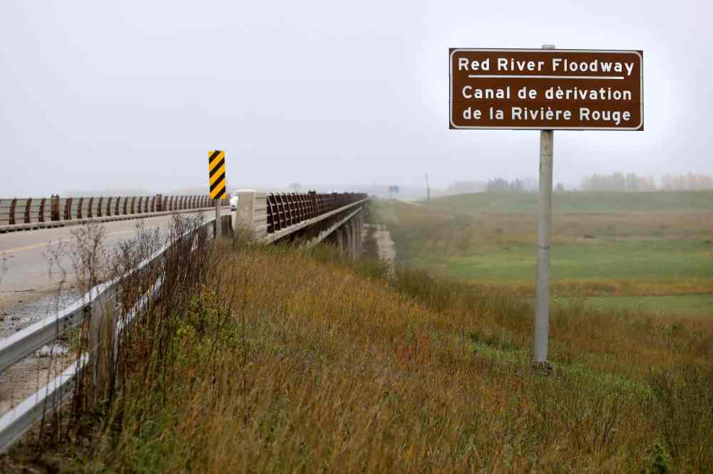
Province opens Red River floodway
Advertisement
Read this article for free:
or
Already have an account? Log in here »
To continue reading, please subscribe:

Digital Subscription
One year of digital access for only $205*
- Enjoy unlimited reading on winnipegfreepress.com
- Read the E-Edition, our digital replica newspaper
- Access News Break, our award-winning app
- Play interactive puzzles
*First annual payment billed as $205.00 + GST for one year. This annual subscription will automatically renew at $233.00 + GST every 52 weeks (10% off the regular annual price of $259.35). Offer available to new and qualified returning subscribers only. Cancel any time.
To continue reading, please subscribe:
Add Free Press access to your Brandon Sun subscription for only an additional
$1 for the first 4 weeks*
- Enjoy unlimited reading on winnipegfreepress.com
- Read the E-Edition, our digital replica newspaper
- Access News Break, our award-winning app
- Play interactive puzzles
*Your next Brandon Sun subscription payment will increase by $1.00 and you will be charged $17.95 plus GST for four weeks. After four weeks, your payment will increase to $24.95 plus GST every four weeks.
Read unlimited articles for free today:
or
Already have an account? Log in here »
Hey there, time traveller!
This article was published 10/04/2020 (2281 days ago), so information in it may no longer be current.
The floodway gates were scheduled to be activated Friday evening, and a swollen Red River is expected north of Winnipeg by Saturday morning.
Rural municipalities were notified the floodway was being utilized as of 7 p.m., and it’s anticipated the additional water flow could impact Lockport by 7 a.m. Saturday and the Netley Creek/Petersfield area by noon.
Officials with the RM of St. Andrews said home owners with a past history of high water affecting their homes and properties should brace for more of the same.
“We will be monitoring water levels and will provide updates to area residents as the situation progresses, and will post additional progress reports in this section throughout the day as the ice and water move north,” the municipality said Friday in a statement.
The Selkirk Bridge was closed Wednesday as a precaution due to high water just north of the capital city.
On Thursday, the province issued a high-water warning for the Red River from Emerson north to the floodway inlet just south of Winnipeg, as the river is close to breaching its banks in most of that region.
At Emerson, a ring dike was closed Friday. However, a resident of the community near Manitoba’s border with the U.S. said flood water “is not coming up very fast here.”

Meanwhile, Morris Mayor Scott Crick said he remains hopeful few, if any, property owners will be affected in the area.
“What I’m seeing when I’m looking at the forecasts in the U.S. is everything peaking at or below last-year levels, so at this point, I’d say we’re guardedly optimistic,” he said Friday. “There is an expectation that if it’s similar to last year, any flooding will be a minor disruption for people living rurally and for some rural roads.
“At least for our town, as long as Highway 75 stays open, that’s the main thing that would disrupt us.”
Amid the COVID-19 pandemic travel restrictions, Manitobans weren’t bound for North Dakota over the Easter long weekend. Had they been, however, they would have found travel disrupted by flooding that closed the main artery south of the border to Grand Forks.
North Dakota’s department of transportation shut down I-29 in both directions from the Manvel exit to the Grafton exit — about a 40-kilometre stretch of highway — Thursday night because of water over the road.
History
Updated on Friday, April 10, 2020 9:06 PM CDT: Corrects day that Emerson ring dike was closed.
Updated on Saturday, April 11, 2020 12:21 PM CDT: Clarifies Emerson is a Canadian border community.