

Winter storm with snow and strong winds forecast for Channel-Port aux Basques, N.L.
Advertisement
Read this article for free:
or
Already have an account? Log in here »
To continue reading, please subscribe:
Monthly Digital Subscription
$1 per week for 24 weeks*
- Enjoy unlimited reading on winnipegfreepress.com
- Read the E-Edition, our digital replica newspaper
- Access News Break, our award-winning app
- Play interactive puzzles
*Billed as $4.00 plus GST every four weeks. After 24 weeks, price increases to the regular rate of $19.95 plus GST every four weeks. Offer available to new and qualified returning subscribers only. Cancel any time.
Monthly Digital Subscription
$4.99/week*
- Enjoy unlimited reading on winnipegfreepress.com
- Read the E-Edition, our digital replica newspaper
- Access News Break, our award-winning app
- Play interactive puzzles
*Billed as $19.95 plus GST every four weeks. Cancel any time.
To continue reading, please subscribe:
Add Free Press access to your Brandon Sun subscription for only an additional
$1 for the first 4 weeks*
*Your next subscription payment will increase by $1.00 and you will be charged $16.99 plus GST for four weeks. After four weeks, your payment will increase to $23.99 plus GST every four weeks.
Read unlimited articles for free today:
or
Already have an account? Log in here »
Hey there, time traveller!
This article was published 06/04/2025 (357 days ago), so information in it may no longer be current.
CHANNEL-PORT AUX BASQUES – Environment Canada is warning residents in the Channel-Port aux Basques, N.L., area to prepare for hazardous winter conditions.
The weather agency has issued a winter storm warning for the region, and is calling for up to 25 centimetres of snow to fall throughout the day Sunday until about midnight.
The fresh snow combined with strong southeasterly winds are expected to significantly reduce visibility.
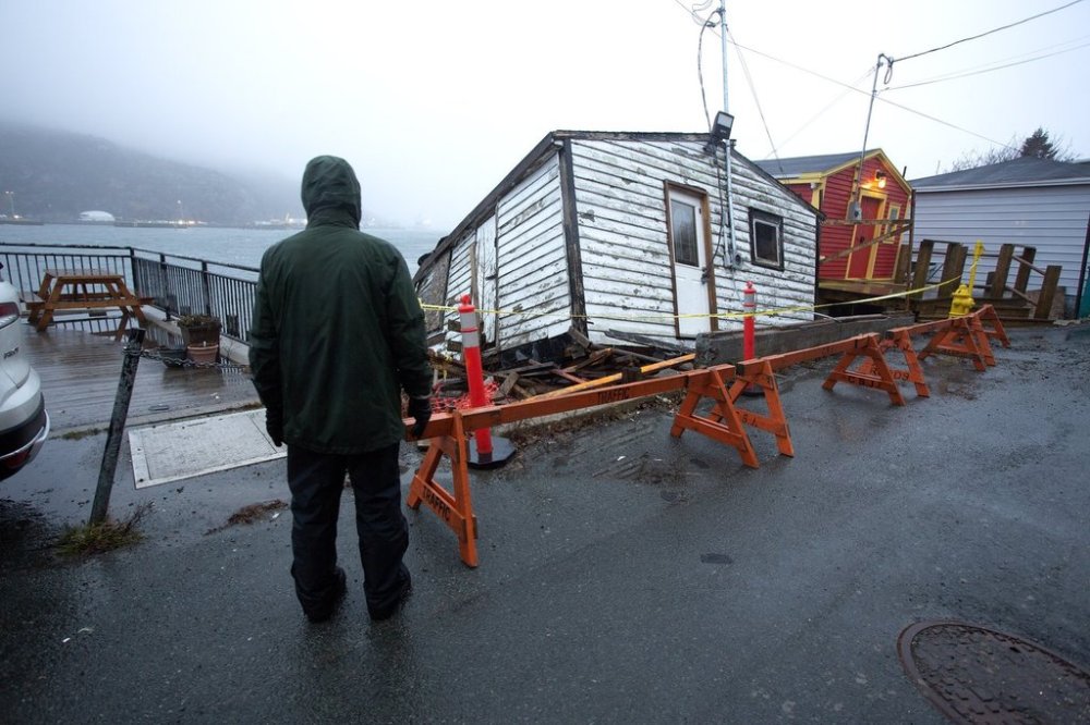
Damage from the storm is shown historic Outer Battery of St. John's on Sunday, January 5, 2025. THE CANADIAN PRESS/Paul Daly
Environment Canada says residents should consider postponing non-essential travel because it’s likely weather may change quickly and driving conditions could deteriorate abruptly.
It says wind speeds of 60 kilometres an hour are expected, except in the Wreckhouse area where wind gusts may hit 80 kilometres per hour.
Meanwhile, the weather agency has also issued a warning about extreme southeasterly winds, known as known as Les Suêtes, for the Inverness County and Mabou region of Cape Breton, N.S.
Wind gusts may reach 90 kilometres an hour Sunday evening between Margaree Harbour to Bay Lawrence, which may cause damage as loose objects are tossed around by the wind.
This report by The Canadian Press was first published April 6, 2025.