Tropical Storm Fausto forms off Mexico’s Pacific as tropical depression swirls in Gulf of Mexico
Advertisement
Read this article for free:
or
Already have an account? Log in here »
To continue reading, please subscribe:

Digital Subscription
One year of digital access for only $205*
- Enjoy unlimited reading on winnipegfreepress.com
- Read the E-Edition, our digital replica newspaper
- Access News Break, our award-winning app
- Play interactive puzzles
*First annual payment billed as $205.00 + GST for one year. This annual subscription will automatically renew at $233.00 + GST every 52 weeks (10% off the regular annual price of $259.35). Offer available to new and qualified returning subscribers only. Cancel any time.
To continue reading, please subscribe:
Add Free Press access to your Brandon Sun subscription for only an additional
$1 for the first 4 weeks*
- Enjoy unlimited reading on winnipegfreepress.com
- Read the E-Edition, our digital replica newspaper
- Access News Break, our award-winning app
- Play interactive puzzles
*Your next Brandon Sun subscription payment will increase by $1.00 and you will be charged $17.95 plus GST for four weeks. After four weeks, your payment will increase to $24.95 plus GST every four weeks.
Read unlimited articles for free today:
or
Already have an account? Log in here »
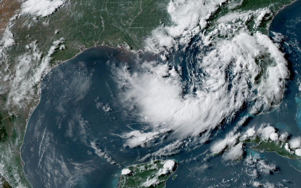
MIAMI (AP) — Tropical Storm Fausto formed Sunday well off Mexico’s southwest Pacific coast, while a tropical depression meandering in warm Gulf of Mexico waters south of the Florida Panhandle was threatening to strengthen into a named storm.
Fausto emerged from a tropical depression about 750 miles (1,200 kilometers) south-southwest of the southern tip of Mexico’s Baja California peninsula and was expected to undergo steady or rapid strengthening and become a hurricane by Monday night, the U.S. National Hurricane Center said.
The storm had maximum sustained winds of 40 mph (65 kph) and was moving to the west-northwest at 13 mph (20 kph). No coastal watches or warnings were in effect.
Also in the eastern Pacific, Tropical Storm Elida was weakening Sunday and expected to become a remnant low within a couple of days. Elida was centered Sunday about 1,015 miles (1,635 kilometers) west of the southern Baja peninsula and had top sustained winds of 60 mph (95 kph).
Meanwhile, forecasters at the Miami-based hurricane center said they were closely watching the evolution of a tropical depression fueled by warm waters south-southeast of the Florida Panhandle.
Forecasters said the depression was expected to strengthen into a tropical storm early in the week. A tropical storm watch was issued for parts of the Florida Panhandle to the Alabama border. The slow-moving storm is expected to move near or along the northern Gulf Coast during the next several days.

The system could bring heavy rainfall to coastal areas of northern Florida, Alabama and Louisiana as it eventually churns west toward Texas, the hurricane center said.
On Sunday afternoon, the depression was virtually stationary and located about 190 miles (310 kilometers) south-southeast of Panama City, Florida, with top sustained winds of 30 mph (45 kph).