Map-based history of Canada a marvel
Advertisement
Read this article for free:
or
Already have an account? Log in here »
To continue reading, please subscribe:

Digital Subscription
One year of digital access for only $205*
- Enjoy unlimited reading on winnipegfreepress.com
- Read the E-Edition, our digital replica newspaper
- Access News Break, our award-winning app
- Play interactive puzzles
*First annual payment billed as $205.00 + GST for one year. This annual subscription will automatically renew at $233.00 + GST every 52 weeks (10% off the regular annual price of $259.35). Offer available to new and qualified returning subscribers only. Cancel any time.
To continue reading, please subscribe:
Add Free Press access to your Brandon Sun subscription for only an additional
$1 for the first 4 weeks*
- Enjoy unlimited reading on winnipegfreepress.com
- Read the E-Edition, our digital replica newspaper
- Access News Break, our award-winning app
- Play interactive puzzles
*Your next Brandon Sun subscription payment will increase by $1.00 and you will be charged $17.95 plus GST for four weeks. After four weeks, your payment will increase to $24.95 plus GST every four weeks.
Read unlimited articles for free today:
or
Already have an account? Log in here »
Hey there, time traveller!
This article was published 28/10/2017 (3187 days ago), so information in it may no longer be current.
If you like maps, you’ll like this book; if you like both maps and crisply recounted Canadian history, you’ll love it.
Adam Shoalts is the author of a previous Canadian bestseller, 2015’s Alone Against the North, which recounted his exploration of the muskeg and river wilderness that is the Hudson Bay Lowlands.
The maps of his second book are springboards for his accounts of how this country’s vast expanses were charted.
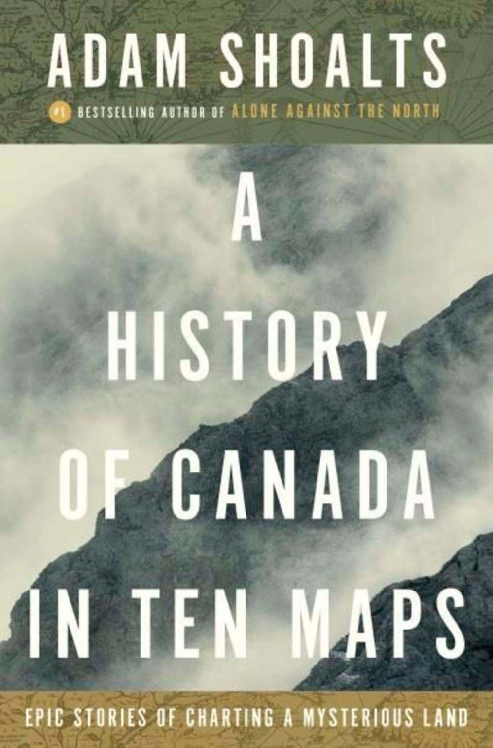
Shoalts believes maps have been fundamental in shaping our view of Canada. He supports this belief by offering up pivotal moments in our country’s history via stories built around 10 specific maps, most of which, in turn, are the product of specific explorations.
The book’s chapters present, chronologically, a virtual who’s who of explorers of what became the nation state of Canada, including Jacques Cartier, Samuel de Champlain, Alexander Mackenzie, Samuel Hearne, David Thompson and Sir John Franklin.
A couple of the early maps border on visual storytelling, illustrating not only where places are, but, supposedly, what people and creatures live there.
French cartographer Pierre Desceliers’s 1550 map of the world, for example, incorporated Jacques Cartier’s recent explorations of New France and labelled it “Canada” for the first time. But it also included fantastical drawings of unicorns, ostriches and bizarre beehive-like dwellings.
Feverishly imagined and wished-for rivers and wholly speculative natural wonders weren’t uncommon, either.
American fur trader, explorer and cartographer Peter Pond’s 1790 map of the northwest included a non-existent river that flowed from Great Slave Lake to the Pacific Ocean — a river that, according to the map, had “falls said to be the largest in the known world.”
Shoalts has a knack for making the historical personal to the explorer-cum-cartographer.
The chapters devoted to Mackenzie, Hearne and Thompson are particularly fine. He takes you inside their heads as they face fear, doubt and despair in tandem with cold, starvation and rebellious wanting-to-turn-back companions, during their physically difficult and dangerous explorations.
While his narratives deftly capture their privation and the challenges of the landscapes they traversed by canoe and on foot, they also plausibly recreate the explorers’ reactions to what they faced.
The maps act as a running record of 16th- to 19th-century explorers’ and map makers’ progress in realizing just how huge our country is. How far or near the representations in the early maps are to mirroring geographic reality is sometimes amusing, and sometimes astonishing.

And while the map reproductions are great, they are, curiously, all lumped together in the middle of the book.
It would have made for readier access for readers if the relevant map were reproduced at the beginning of the pertinent chapter devoted to a specific explorer or terrain, instead of forcing readers to stop and flip to mid-book to find the corresponding map.
But that’s a quibble. This is popular, as opposed to academic, Canadian history writ well.
These are 10 great stories whose appeal goes well beyond map nerds.
Douglas J. Johnston is a Winnipeg lawyer and writer. He has been a map nerd from an early age.