Most of Canada is predicted to have a warmer-than-normal fall: The Weather Network
Advertisement
Read this article for free:
or
Already have an account? Log in here »
To continue reading, please subscribe:

Digital Subscription
One year of digital access for only $205*
- Enjoy unlimited reading on winnipegfreepress.com
- Read the E-Edition, our digital replica newspaper
- Access News Break, our award-winning app
- Play interactive puzzles
*First annual payment billed as $205.00 + GST for one year. This annual subscription will automatically renew at $233.00 + GST every 52 weeks (10% off the regular annual price of $259.35). Offer available to new and qualified returning subscribers only. Cancel any time.
To continue reading, please subscribe:
Add Free Press access to your Brandon Sun subscription for only an additional
$1 for the first 4 weeks*
- Enjoy unlimited reading on winnipegfreepress.com
- Read the E-Edition, our digital replica newspaper
- Access News Break, our award-winning app
- Play interactive puzzles
*Your next Brandon Sun subscription payment will increase by $1.00 and you will be charged $17.95 plus GST for four weeks. After four weeks, your payment will increase to $24.95 plus GST every four weeks.
Read unlimited articles for free today:
or
Already have an account? Log in here »
Hey there, time traveller!
This article was published 11/09/2024 (761 days ago), so information in it may no longer be current.
TORONTO – Don’t put away your summer wardrobe just yet – The Weather Network says most Canadians are in for a warm fall.
The network predicts that the majority of Canadians will see a slow transition into autumn as temperatures in most regions are expected to be above normal in the coming weeks.
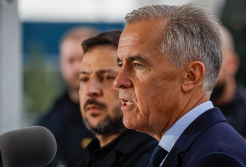
“We’re not going to have a big plunge off a cliff and get too cold anytime soon,” Chris Scott, The Weather Network’s chief meteorologist, said in an interview. “It looks like the early and middle parts of fall are going to be pretty nice for most of the country.”

Scott said Ontario and Quebec are expected to see more warm and dry days than usual persisting into October, with some chances of thunderstorms and winds from the northwest.
“It’s a pretty good-looking fall, but you have to be aware that there’s probably going to be a couple significant fall storms in there,” he said.
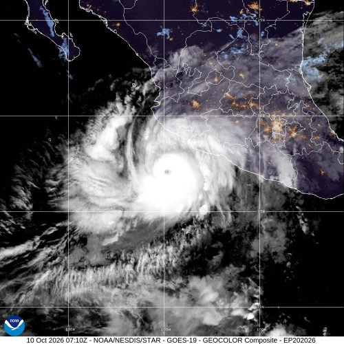
He pointed to this past summer, when remnants of Hurricane Beryl soaked parts of the two provinces.
“The wild card here is going to be watching the tropics,” said Scott.
Canadians in the Prairies can also expect to enjoy warmth in the fall, with the temperature outlook for Manitoba, Saskatchewan and Alberta above the norm.
Those provinces are predicted to see near-normal precipitation with some exceptions, the network said. Eastern Manitoba may see less rainfall than usual, and north and southwest Alberta may see elevated levels.
Scott said while many parts of the country are likely to see warm weather this fall, including eastern British Columbia, coastal areas in that province will likely have temperatures that are closer to normal.
“Coastal B.C. will not share in that heat in the next couple of weeks,” said Scott, adding that the south coast and southern interior of the province are expected to have more precipitation than usual.
Atlantic Canada should mostly see above-normal temperatures, and near- or above-normal rainfall, the network predicted.
But it is still important to watch out for extreme weather. That can develop quickly, Scott said, as warm waters in the Atlantic Ocean could propel storms.
“We are not done with hurricane season. We’re just coming up and past the peak,” he said.
“Let’s not be lulled into a false sense of security around the lack of hurricanes in the last couple weeks … it’s still a threat. So just be aware of that potential.”
The network said warmer temperatures will dominate most of Northern Canada, but more-typical temperatures are expected in Yukon and the western Northwest Territories.
The region is predicted to see precipitation at typical or above-normal levels, with western Nunavut the likeliest to see higher precipitation.

The network also predicted that parts of B.C., Alberta, Yukon and Northwest Territories can expect more rain than usual – a welcome forecast after a summer of wildfires.
“Generally speaking, we do expect precipitation to come on cue, as it usually does fall,” said Scott. “And that’s going to be a great thing in terms of the fire situation.”
Scott said it’s too far out to predict what the transition into winter will look like, but for now, Canadians can hang onto summer for a little while longer.
“We’ll have more ups than downs for most people, and let’s enjoy it,” he said. “We’ll worry about November and slide into winter when that comes.”
This report by The Canadian Press was first published Sept. 11, 2024.