

Environment Canada issues weather warnings for B.C. coast, mountain passes
Advertisement
Read this article for free:
or
Already have an account? Log in here »
To continue reading, please subscribe:
Monthly Digital Subscription
$0 for the first 4 weeks*
- Enjoy unlimited reading on winnipegfreepress.com
- Read the E-Edition, our digital replica newspaper
- Access News Break, our award-winning app
- Play interactive puzzles
*No charge for 4 weeks then price increases to the regular rate of $19.95 plus GST every four weeks. Offer available to new and qualified returning subscribers only. Cancel any time.
Monthly Digital Subscription
$4.99/week*
- Enjoy unlimited reading on winnipegfreepress.com
- Read the E-Edition, our digital replica newspaper
- Access News Break, our award-winning app
- Play interactive puzzles
*Billed as $19.95 plus GST every four weeks. Cancel any time.
To continue reading, please subscribe:
Add Free Press access to your Brandon Sun subscription for only an additional
$1 for the first 4 weeks*
*Your next subscription payment will increase by $1.00 and you will be charged $16.99 plus GST for four weeks. After four weeks, your payment will increase to $23.99 plus GST every four weeks.
Read unlimited articles for free today:
or
Already have an account? Log in here »
Hey there, time traveller!
This article was published 03/11/2024 (429 days ago), so information in it may no longer be current.
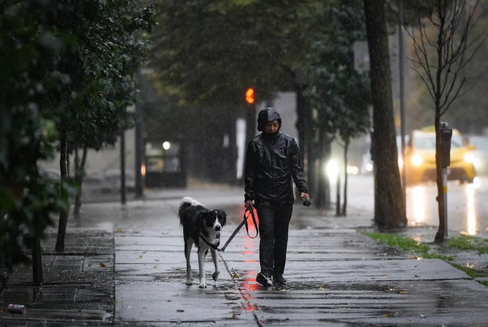
VANCOUVER – Environment Canada says strong winds and heavy rain are expected overnight and into Monday for British Columbia’s south coast.
It says “relatively short but intense episodes of rain” are expected to begin just after midnight, with early indicators suggesting up to 100 millimetres of rain over the mountainous regions of western Vancouver Island.
The weather agency says lower amounts are expected elsewhere across the region.
It says strong southeast winds are also expected overnight before becoming “very strong west to northwest winds” on Monday.
Environment Canada also issued a wind warning for exposed coastal regions of northern Vancouver Island and the Central Coast, saying winds that begin Sunday evening will get stronger overnight and possibly gust up to 110 km/h before easing in the afternoon.
Special weather statements were also issued for mountain passes in southern B.C. that are warning drivers of “gusty winds, rapidly accumulating snow and blowing snow” that may result in low visibility starting Monday.
“A strong frontal system passing through central B.C. will cause a strong frontal band to sweep through the southern part of the province,” it says.
It says snow accumulations on the highest summits, including the Coquihalla and Kootenay Pass where winter storm warnings are in effect, may exceed 20 centimetres on Monday. Strong winds are expected to continue into Tuesday.
This report by The Canadian Press was first published Nov. 3, 2024.