

Storm threatens significant ice accumulations in several mid-Atlantic states, forecasters say
Advertisement
Read this article for free:
or
Already have an account? Log in here »
To continue reading, please subscribe:
Monthly Digital Subscription
$1 per week for 24 weeks*
- Enjoy unlimited reading on winnipegfreepress.com
- Read the E-Edition, our digital replica newspaper
- Access News Break, our award-winning app
- Play interactive puzzles
*Billed as $4.00 plus GST every four weeks. After 24 weeks, price increases to the regular rate of $19.95 plus GST every four weeks. Offer available to new and qualified returning subscribers only. Cancel any time.
Monthly Digital Subscription
$4.99/week*
- Enjoy unlimited reading on winnipegfreepress.com
- Read the E-Edition, our digital replica newspaper
- Access News Break, our award-winning app
- Play interactive puzzles
*Billed as $19.95 plus GST every four weeks. Cancel any time.
To continue reading, please subscribe:
Add Free Press access to your Brandon Sun subscription for only an additional
$1 for the first 4 weeks*
*Your next subscription payment will increase by $1.00 and you will be charged $16.99 plus GST for four weeks. After four weeks, your payment will increase to $23.99 plus GST every four weeks.
Read unlimited articles for free today:
or
Already have an account? Log in here »
Hey there, time traveller!
This article was published 05/02/2025 (415 days ago), so information in it may no longer be current.
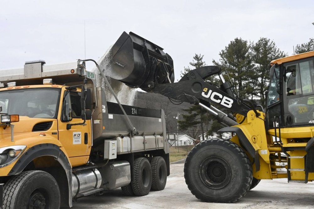
CHARLESTON, W.Va. (AP) — A winter storm approaching several mid-Atlantic states is threatening significant ice accumulations that could cause widespread power outages and disrupt travel, forecasters warned Wednesday.
The National Weather Service issued ice storm warnings from Wednesday afternoon through midday Thursday in portions of Maryland, Pennsylvania, Virginia and West Virginia.
Forecasts of up to four-tenths of an inch of ice (1 centimeter) in some places could significantly damage trees and power lines, the weather service said. Much of the warning area includes higher elevations.
Public schools in some counties dismissed classes early on Wednesday due to the approaching storm.
The storm was especially concerning for the Thursday morning commute with bridges and overpasses on untreated roads likely becoming slick and hazardous from freezing rain, forecasters said.
In addition, a flood watch was posted through Thursday morning for most of West Virginia and portions of northeast Kentucky and southwest Virginia where up to 1.5 inches (nearly 4 centimeters) of rain was expected on ground already saturated by previous storms.
Before the system moved to the east, most roads in northern Missouri were fully or partially covered with ice Wednesday morning, while sections of highways in the Kansas City area were closed as emergency workers cleared numerous accidents, according to the state Department of Transportation. Much of eastern Kansas also saw freezing rain and ice-glazed roads, including in Topeka and Wichita.
In Iowa, transportation officials warned that freezing drizzle that had covered roads in southeastern areas of the state was expected to spread northward throughout the day.