

Blowing snow and high winds expected in much of Atlantic region overnight
Advertisement
Read this article for free:
or
Already have an account? Log in here »
To continue reading, please subscribe:
Monthly Digital Subscription
$1 per week for 24 weeks*
- Enjoy unlimited reading on winnipegfreepress.com
- Read the E-Edition, our digital replica newspaper
- Access News Break, our award-winning app
- Play interactive puzzles
*Billed as $4.00 plus GST every four weeks. After 24 weeks, price increases to the regular rate of $19.95 plus GST every four weeks. Offer available to new and qualified returning subscribers only. Cancel any time.
Monthly Digital Subscription
$4.99/week*
- Enjoy unlimited reading on winnipegfreepress.com
- Read the E-Edition, our digital replica newspaper
- Access News Break, our award-winning app
- Play interactive puzzles
*Billed as $19.95 plus GST every four weeks. Cancel any time.
To continue reading, please subscribe:
Add Free Press access to your Brandon Sun subscription for only an additional
$1 for the first 4 weeks*
*Your next subscription payment will increase by $1.00 and you will be charged $16.99 plus GST for four weeks. After four weeks, your payment will increase to $23.99 plus GST every four weeks.
Read unlimited articles for free today:
or
Already have an account? Log in here »
HALIFAX – Much of the Atlantic region was under a winter storm warning Sunday and continued overnight into Monday morning.
The eastern part of Newfoundland was under a yellow warning, meaning Environment Canada was expecting short term and moderate impacts from the weather.
The yellow warning ran from Port aux Basques up to St. Anthony, with up to 35 centimetres of snow expected and high winds.
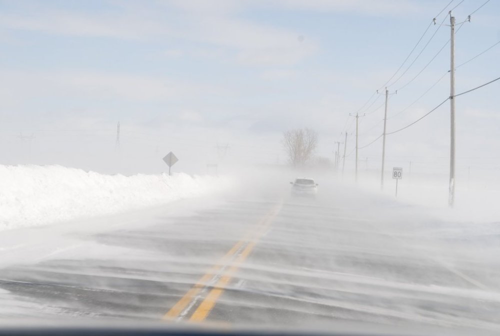
In the Gander area, the warning was at an orange level, meaning weather could cause significant damage and impacts could last for several days.
In that area, winds were projected to reach up to 130 kilometres per hour, with near-zero visibility from blowing snow.
Further south, parts of Nova Scotia and eastern Prince Edward Island were also under yellow storm warnings, with Environment Canada forecasting up to 40 centimetres of snow and messy conditions.
This report by The Canadian Press was first published Dec. 14, 2025.