Environment Canada warns of heavy rain or snow for parts of B.C. including Vancouver
Advertisement
Read this article for free:
or
Already have an account? Log in here »
To continue reading, please subscribe:
Digital Subscription
One year of digital access for only $1.44 a week*
- Enjoy unlimited reading on winnipegfreepress.com
- Read the E-Edition, our digital replica newspaper
- Access News Break, our award-winning app
- Play interactive puzzles
*Billed as $5.77 plus GST every four weeks. After 52 weeks, price increases to the regular rate of $19.95 plus GST every four weeks. Offer available to new and qualified returning subscribers only. Cancel any time.
To continue reading, please subscribe:
Add Free Press access to your Brandon Sun subscription for only an additional
$1 for the first 4 weeks*
- Enjoy unlimited reading on winnipegfreepress.com
- Read the E-Edition, our digital replica newspaper
- Access News Break, our award-winning app
- Play interactive puzzles
*Your next Brandon Sun subscription payment will increase by $1.00 and you will be charged $17.95 plus GST for four weeks. After four weeks, your payment will increase to $24.95 plus GST every four weeks.
Read unlimited articles for free today:
or
Already have an account? Log in here »
Hey there, time traveller!
This article was published 05/01/2026 (285 days ago), so information in it may no longer be current.
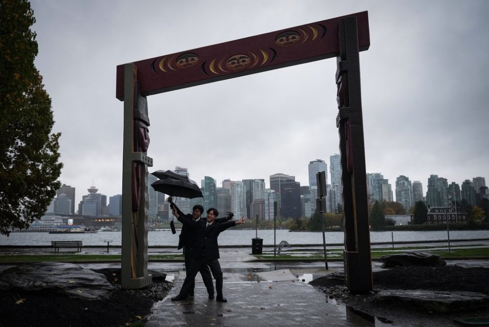
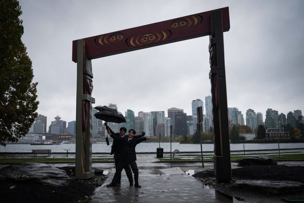
VANCOUVER – A series of rain and snowfall warnings are in place for parts of British Columbia, with Metro Vancouver expecting up to 60 millimetres of rain with snowfall accumulating at higher elevations starting Monday night.
Environment Canada issued the warnings ahead of a strong frontal system that is expected to bring heavy rain to northern cities of Metro Vancouver through to Tuesday.
The heaviest rain is expected near the North Shore mountains, while Environment Canada says Vancouver itself may see up to 50 millimetres of rain and there could be “significant snowfall accumulations” over higher terrain.
The same frontal system has set off snowfall warnings for the Sea to Sky Highway and the Whistler area, with 15 to 20 centimetres expected before it tapers by Tuesday afternoon.
In the southeast, heavy snow is predicted for the West Columbia and Elk Valley, and in the Rogers Pass on Highway 1 and the Kootenay Pass on Highway 3, bringing up to 25 centimeters of snow through to Wednesday.

Snowfall warnings have also been issued for the North coast, including Stewart and Kitimat, with accumulations of up to 25 centimetres into Tuesday before a transition to rain.
This report by The Canadian Press was first published Jan. 5, 2026.