

Major ice storm headed to southern Quebec, up to 35 mm of freezing rain over 24 hours
Advertisement
Read this article for free:
or
Already have an account? Log in here »
To continue reading, please subscribe:
Monthly Digital Subscription
$1 per week for 24 weeks*
- Enjoy unlimited reading on winnipegfreepress.com
- Read the E-Edition, our digital replica newspaper
- Access News Break, our award-winning app
- Play interactive puzzles
*Billed as $4.00 plus GST every four weeks. After 24 weeks, price increases to the regular rate of $19.95 plus GST every four weeks. Offer available to new and qualified returning subscribers only. Cancel any time.
Monthly Digital Subscription
$4.99/week*
- Enjoy unlimited reading on winnipegfreepress.com
- Read the E-Edition, our digital replica newspaper
- Access News Break, our award-winning app
- Play interactive puzzles
*Billed as $19.95 plus GST every four weeks. Cancel any time.
To continue reading, please subscribe:
Add Free Press access to your Brandon Sun subscription for only an additional
$1 for the first 4 weeks*
*Your next subscription payment will increase by $1.00 and you will be charged $16.99 plus GST for four weeks. After four weeks, your payment will increase to $23.99 plus GST every four weeks.
Read unlimited articles for free today:
or
Already have an account? Log in here »
Environment Canada says a “potentially critical” ice storm is heading for southern Quebec starting Wednesday.
According to a special weather statement, the region can expect 20 to 30 millimetres of freezing rain over 24 hours.
The storm could “paralyze” transportation, the weather agency says.
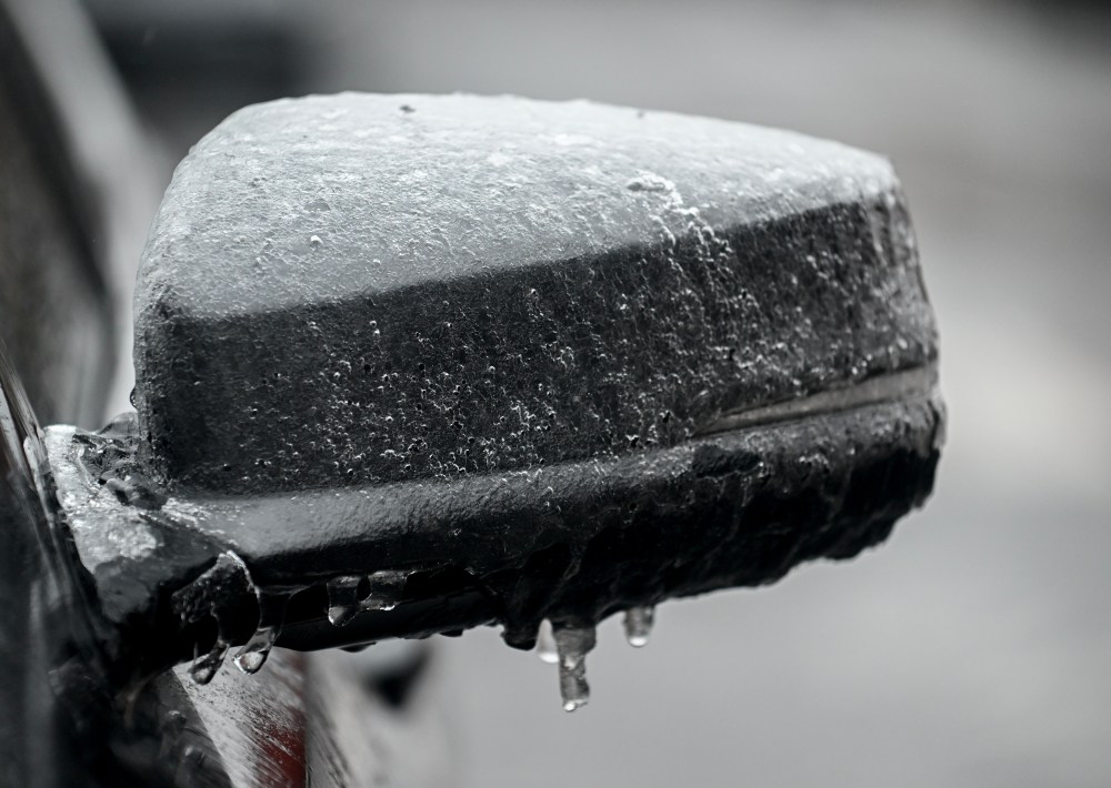
It adds the accumulation of ice can increase the risk of breaking tree branches and cause prolonged power outages.
Meteorologist Giselle Dookhie says the freezing rain is expected to start Tuesday overnight into Wednesday.
“The last time I’ve seen any freezing events like this it was like back in 2023,” she told The Canadian Press. “What makes this event a concern is the extended period of freezing rain.”
Hydro-Québec says it is monitoring the situation and will prepare over the next couple of days.
The weather is expected to remain cold in the days following the storm, which will complicate and delay the full return to normal services.
Cleanup of felled trees could be slow, Dookhie added, with blowing snow and winds in the forecast.
Though the south of the province will be hit hardest, all of Quebec and parts of Atlantic Canada will be affected by the storm, she said.
The Lac-Saint-Jean and surrounding areas to the north will have more snowy conditions, with up to 40 centimetres of snow expected.
“The system really does translate east and it’s going to start affecting the Maritimes and then going up along the Quebec lower North shore,” said Dookhie.
The Eastern Townships, where snowpack is still high from a recent snowfall, could see localized flooding, Dookhie says.
Environment Canada will issue more weather warnings in the coming days.
This report by The Canadian Press was first published March 9, 2026.