

Storm to blow across southern Manitoba, dump up to 25 cm of snow in some areas

Advertisement
Read this article for free:
or
Already have an account? Log in here »
To continue reading, please subscribe:
Monthly Digital Subscription
$1 per week for 24 weeks*
- Enjoy unlimited reading on winnipegfreepress.com
- Read the E-Edition, our digital replica newspaper
- Access News Break, our award-winning app
- Play interactive puzzles
*Billed as $4.00 plus GST every four weeks. After 24 weeks, price increases to the regular rate of $19.00 plus GST every four weeks. Offer available to new and qualified returning subscribers only. Cancel any time.
Monthly Digital Subscription
$4.75/week*
- Enjoy unlimited reading on winnipegfreepress.com
- Read the E-Edition, our digital replica newspaper
- Access News Break, our award-winning app
- Play interactive puzzles
*Billed as $19 plus GST every four weeks. Cancel any time.
To continue reading, please subscribe:
Add Free Press access to your Brandon Sun subscription for only an additional
$1 for the first 4 weeks*
*Your next subscription payment will increase by $1.00 and you will be charged $16.99 plus GST for four weeks. After four weeks, your payment will increase to $23.99 plus GST every four weeks.
Read unlimited articles for free today:
or
Already have an account? Log in here »
Hey there, time traveller!
This article was published 03/04/2023 (927 days ago), so information in it may no longer be current.
Up to 25 centimetres of snow is forecast to blanket parts of southern Manitoba in an early spring storm beginning Tuesday afternoon. High winds could mix with snow and cause poor visibility, making highway travel dangerous, the storm warning from Environment Canada predicts.
Light snow is expected to begin late Tuesday afternoon and get heavier overnight and into Wednesday, tapering off Thursday evening.
The Colorado low is set to hit southeastern Manitoba the hardest, bringing 20 to 25 centimetres. Winnipeg and the Red River Valley could see 10 to 15 centimetres and western Manitoba could receive five to 10 cm.
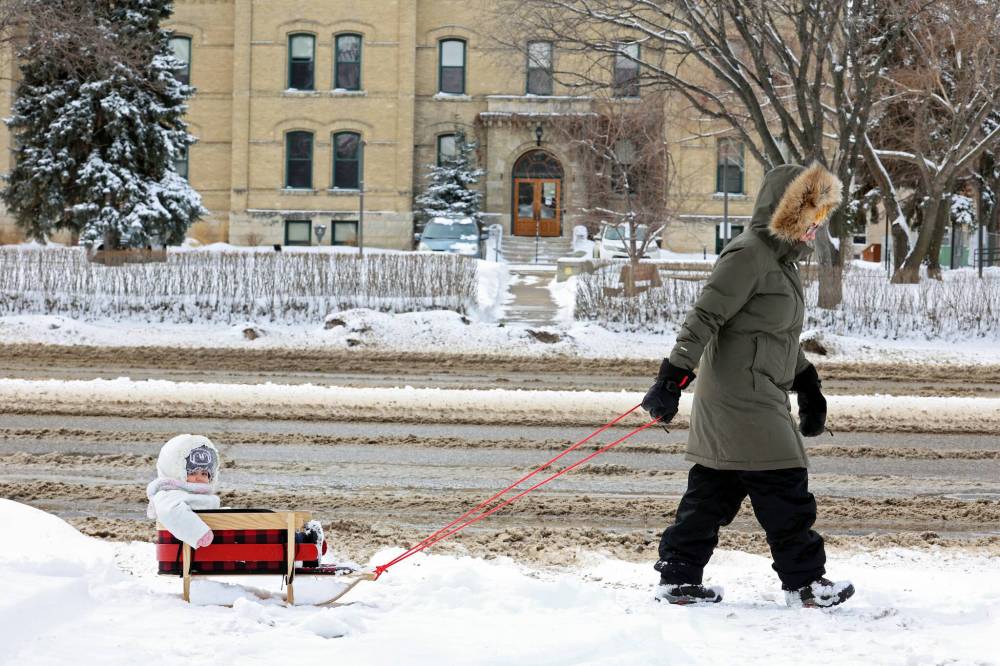
Light snow is expected to begin late Tuesday afternoon and get heavier overnight and into Wednesday, tapering off Thursday evening. (Tim Smith / The Brandon Sun)
Blowing snow will be a problem in some areas, particularly in the Red River Valley and western parts of the province, where winds could gust up to 70 kilometres per hour. The snowfall warning could be upgraded to a blizzard warning depending on winds and significantly reduced visibility for extended periods of time, said Janelle Gergely, a Winnipeg-based meteorologist for Environment and Climate Change Canada.
The strongest winds are expected Wednesday morning and early afternoon; by that time, the system should be moving east into Ontario.
“So it’s a bit offset on timing between the strongest winds and the heaviest snowfall, but with all the fresh snowfall, conditions are still going to be quite bad, particularly in the Red River Valley,” she said.
The federal department issued a winter storm warning for Winnipeg, Portage la Prairie and communities east and south. A storm watch has been issued for Brandon and surrounding areas, which are expected to get less snow.
Highway closures are likely. The province is preparing to send out its fleet of heavy equipment for plowing, grading and de-icing and is issuing an advisory on safety tips for travel, according to a news release issued Monday afternoon.
“Southwestern Manitoba received up to 20 centimetres of snow yesterday. Manitoba’s Hydrologic Forecast Centre is monitoring the weather system and will issue updated river flow and river level forecasts once the system passes,” the statement reads

Power outages can occur during blizzards and Manitobans are encouraged to prepare basic emergency kits with drinking water, food, medicine, a first-aid kit and a flashlight.”
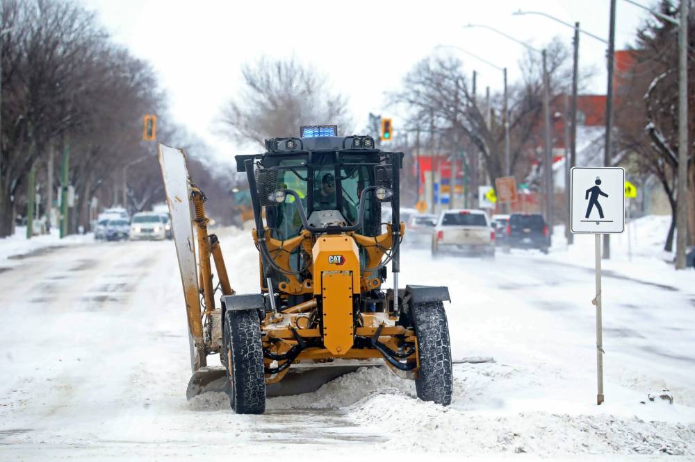
The province is preparing to send out its fleet of heavy equipment for plowing, grading and de-icing and is issuing an advisory on safety tips for travel, according to a news release issued Monday afternoon. (Tim Smith / The Brandon Sun)
More information is available at http://wfp.to/0l2.
The Colorado low track is frequently to blame for early spring storms in Manitoba, Gergely said.
“One thing to look forward to is that the weekend forecast is very warm,” with above-seasonal temperatures on the way, she said.
katie.may@winnipegfreepress.com
Katie May is a multimedia producer for the Free Press.
Our newsroom depends on a growing audience of readers to power our journalism. If you are not a paid reader, please consider becoming a subscriber.
Our newsroom depends on its audience of readers to power our journalism. Thank you for your support.
Related Articles
Severe storms including hail, tornadoes hit Midwest, South
Advertisement Advertise With Us
Advertisement Advertise With Us