

Climate Atlas suggests Manitoba farmers will need to adapt
Advertisement
Read this article for free:
or
Already have an account? Log in here »
To continue reading, please subscribe:

Digital Subscription
One year of digital access for only $205*
- Enjoy unlimited reading on winnipegfreepress.com
- Read the E-Edition, our digital replica newspaper
- Access News Break, our award-winning app
- Play interactive puzzles
*First annual payment billed as $205.00 + GST for one year. This annual subscription will automatically renew at $233.00 + GST every 52 weeks (10% off the regular annual price of $259.35). Offer available to new and qualified returning subscribers only. Cancel any time.
To continue reading, please subscribe:
Add Free Press access to your Brandon Sun subscription for only an additional
$1 for the first 4 weeks*
- Enjoy unlimited reading on winnipegfreepress.com
- Read the E-Edition, our digital replica newspaper
- Access News Break, our award-winning app
- Play interactive puzzles
*Your next Brandon Sun subscription payment will increase by $1.00 and you will be charged $17.95 plus GST for four weeks. After four weeks, your payment will increase to $24.95 plus GST every four weeks.
Read unlimited articles for free today:
or
Already have an account? Log in here »
Hey there, time traveller!
This article was published 20/04/2018 (3010 days ago), so information in it may no longer be current.
Manitoba’s climate will be like that of Nebraska and South Dakota by 2050 and like northern Kansas and possibly even northern Texas by 2080.
Farmers, among others, will have to adapt.
That was the message from the people behind the new Climate Atlas of Canada, which released another platform on Friday for industries including agriculture and forestry.
The climate map shows longer growing seasons, more days of over 30 degrees Celsius temperatures, and greater variability in precipitation. For example, there will be more precipitation in winter and spring but less in summer.
“What it means is the possibility of floods followed by droughts,” said Ian Mauro, University of Winnipeg geography professor and co-director of the university’s Prairie Climate Centre. “The risk to farmers is amplified to where we’re talking about multiple disasters in a single season.”
It will mean farmers will have to learn how to retain water when it’s available to use for possible shortages in summer, he said.
The climate change atlas, which is found at climateatlas.ca, is designed to help industries and governments improve their planning.

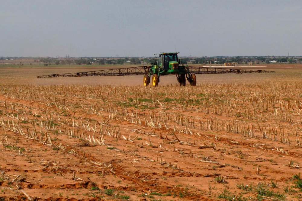
Manitoba farmers are already changing crops. They seeded more than two million acres of soybeans last year and are starting to grow large acreages of silage corn, two crops that barely registered in the province five to 10 years ago.
“It seems inevitable farmers will migrate to new varieties that require more heat. Corn is a heat-loving plant,” said Danny Blair, U of W climatologist and director of the Prairie Climate Centre, which is the driving force behind the climate atlas.
One group paying attention is the Canadian Association of Landscape Architects. The association told Mauro recently that it has always used historic climate normals in its planning. “They realize that is not the right practice anymore. They need to know what the future normals are going to be,” Mauro said.
bill.redekop@freepress.mb.ca