

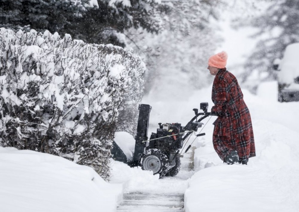
Christmas cold for the West, freezing rain in Ontario and winter storms in the East
Advertisement
Read this article for free:
or
Already have an account? Log in here »
To continue reading, please subscribe:
Monthly Digital Subscription
$1 per week for 24 weeks*
- Enjoy unlimited reading on winnipegfreepress.com
- Read the E-Edition, our digital replica newspaper
- Access News Break, our award-winning app
- Play interactive puzzles
*Billed as $4.00 plus GST every four weeks. After 24 weeks, price increases to the regular rate of $19.95 plus GST every four weeks. Offer available to new and qualified returning subscribers only. Cancel any time.
Monthly Digital Subscription
$4.99/week*
- Enjoy unlimited reading on winnipegfreepress.com
- Read the E-Edition, our digital replica newspaper
- Access News Break, our award-winning app
- Play interactive puzzles
*Billed as $19.95 plus GST every four weeks. Cancel any time.
To continue reading, please subscribe:
Add Free Press access to your Brandon Sun subscription for only an additional
$1 for the first 4 weeks*
*Your next subscription payment will increase by $1.00 and you will be charged $16.99 plus GST for four weeks. After four weeks, your payment will increase to $23.99 plus GST every four weeks.
Read unlimited articles for free today:
or
Already have an account? Log in here »
Relentless cold and snow are in the forecast for many areas of Western Canada for Christmas, while northern Quebec and Newfoundland and Labrador will see blizzard conditions until Boxing Day.
Environment Canada says a windy winter storm is on the way for almost all of Newfoundland and Labrador and northeastern Quebec where between 30 and 50 centimetres are forecast along with wind gusts of up to 120 km/h.
Special weather statements for freezing rain through to Friday stretch from Windsor to Peterborough and include the Greater Toronto region, while a snowfall warning is up for Thunder Bay and areas north and east of there.
Cold warnings continue to grip northern Alberta and Saskatchewan, most of Yukon and parts of the Northwest Territories and B.C., although the weather agency says its expected to warm to more seasonal temperatures in Yukon, where temperatures have dipped below -50.
Parts of southwestern Saskatchewan and southeastern Alberta will see freezing rain today, thought it’s expected to end later in the day, while the snow in central Alberta will taper off, leaving cold with wind chills reaching -40.
Blizzard conditions in Tuktoyaktuk in the Northwest Territories were expected to ease by today but blowing snow is predicted to continue.
This report by The Canadian Press was first published Dec. 25, 2025.