

Deconstructing flood of 2009
Officials assess inlet operation to limit damage
Advertisement
Read this article for free:
or
Already have an account? Log in here »
To continue reading, please subscribe:
Digital Subscription
One year of digital access for only $75*
- Enjoy unlimited reading on winnipegfreepress.com
- Read the E-Edition, our digital replica newspaper
- Access News Break, our award-winning app
- Play interactive puzzles
*Billed as $5.77 plus GST every four weeks. After 52 weeks, price increases to the regular rate of $19.95 plus GST every four weeks. Offer available to new and qualified returning subscribers only. Cancel any time.
Monthly Digital Subscription
$4.99/week*
- Enjoy unlimited reading on winnipegfreepress.com
- Read the E-Edition, our digital replica newspaper
- Access News Break, our award-winning app
- Play interactive puzzles
*Billed as $19.95 plus GST every four weeks. Cancel any time.
To continue reading, please subscribe:
Add Free Press access to your Brandon Sun subscription for only an additional
$1 for the first 4 weeks*
- Enjoy unlimited reading on winnipegfreepress.com
- Read the E-Edition, our digital replica newspaper
- Access News Break, our award-winning app
- Play interactive puzzles
*Your next Brandon Sun subscription payment will increase by $1.00 and you will be charged $17.95 plus GST for four weeks. After four weeks, your payment will increase to $24.95 plus GST every four weeks.
Read unlimited articles for free today:
or
Already have an account? Log in here »
Hey there, time traveller!
This article was published 07/08/2009 (6127 days ago), so information in it may no longer be current.
A provincial report into last spring’s flood on the Red River, the second highest recorded since official records started in 1912, recommends looking at how the floodway’s inlet can be changed to allow more water into the floodway channel and reduce artificial flooding south of the city.
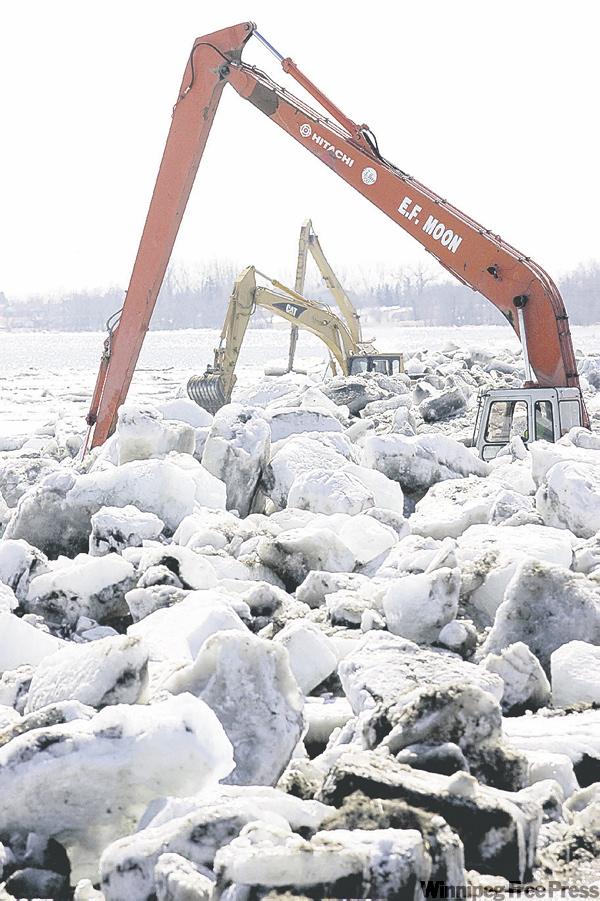
The report, obtained by the Free Press and to be released today, also recommends beefing up ice-cutting resources to further limit sudden ice jams north of Winnipeg and raising parts of Highway 75 near Morris so that the province’s main highway to the U.S. stays open during flood season.
"This was a spring such as we haven’t had before," Water Stewardship Minister Christine Melnick said Thursday. "Usually we are three or four steps ahead of Mother Nature, but this year she was zig-zagging all over the place."
Melnick said the most critical lesson learned from the flood — and its ice jams — is that the designated flood plain should be extended to include south of the city to north of Breezy Point in order to regulate development in flood-prone areas.
"We have to look at the geography of the river in a different way," she said.
The province is negotiating to buy out 42 Breezy Point residents on Crown land and 17 flood-damaged homes in St. Clements. At least two homes in St. Andrews are also to be removed.
Melnick also said officials learned they can operate the floodway with ice still on the river and in the channel, something that hadn’t been done before since the floodway went into operation in 1969.
She added the province will also likely expand its ice-cutting and ice-breaking flotilla, perhaps adding a third Amphibex ice-breaking machine.
Plus, she said the province is also looking at better flood-forecasting tools and procedures, including predicting water flows and weather patterns, so that more information can be gathered more quickly.
Don Norquay, deputy minister of Water Stewardship, said work on the floodway inlet is intended to reduce the amount of flooding upstream on the Red River when the floodway’s gates are activated — the gates prevent much of the water from coming into Winnipeg by diverting it into the floodway channel around the city.
Norquay said the $4-million to $5-million project will also reduce the amount of flood water coming into the city during a moderate flood by about one foot, reducing the threat of sewer backup and basement flooding.
Norquay added changes to the inlet will not allow the floodway to be used to regulate river levels in the city during the summer. In the past, high rainfall raised water levels and closed the riverwalk and access to The Forks.
He said the floodway’s operation rules also do not permit the floodway to be used to regulate river levels during summer months.
A review of the rules will be completed by July 2010.
The report also pinpoints the factors leading up to flooding in the Red River Valley; high soil moisture at freeze-up in late 2008 and a heavy snowpack in the U.S. Cold weather and thick ice on the river and in culverts and ditches exacerbated the situation.
As a result, flooding on the Red River inundated 1,000 square kilometres (386 square miles) of farm land between Emerson and the floodway inlet at St. Norbert.
In 1997, the Flood of the Century covered 1,840 square kilomtres (710.3 square miles).
At the height of the 2009 flood, approximately 2,800 people were foreced to leave affected areas, including the Peguis First Nation where the Fisher River overflowed its banks.
Flood claims under the Disaster Financial Assistance (DFA) program are still being filed but are expected to be in the $40-million range. This includes provincial government costs of $16.2 million and First Nations’ costs of $4 million.

In 1997, flood claims totalled $240 million.
bruce.owen@freepress.mb.ca