

Flood briefs
Advertisement
Read this article for free:
or
Already have an account? Log in here »
To continue reading, please subscribe:
Monthly Digital Subscription
$1 per week for 24 weeks*
- Enjoy unlimited reading on winnipegfreepress.com
- Read the E-Edition, our digital replica newspaper
- Access News Break, our award-winning app
- Play interactive puzzles
*Billed as $4.00 plus GST every four weeks. After 24 weeks, price increases to the regular rate of $19.95 plus GST every four weeks. Offer available to new and qualified returning subscribers only. Cancel any time.
Monthly Digital Subscription
$4.99/week*
- Enjoy unlimited reading on winnipegfreepress.com
- Read the E-Edition, our digital replica newspaper
- Access News Break, our award-winning app
- Play interactive puzzles
*Billed as $19.95 plus GST every four weeks. Cancel any time.
To continue reading, please subscribe:
Add Free Press access to your Brandon Sun subscription for only an additional
$1 for the first 4 weeks*
*Your next subscription payment will increase by $1.00 and you will be charged $16.99 plus GST for four weeks. After four weeks, your payment will increase to $23.99 plus GST every four weeks.
Read unlimited articles for free today:
or
Already have an account? Log in here »
Hey there, time traveller!
This article was published 12/04/2011 (5451 days ago), so information in it may no longer be current.
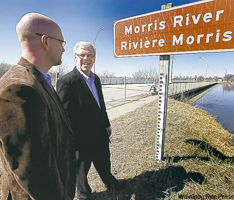
Monday’s flood bulletin
The ring dike at Morris will likely be partially closed as a precaution today because of forecast winds, the province said.
As well, the government expects to close Highway 75 today at Morris.
The province also issued a high-water advisory for Sturgeon Creek. Water levels on Sturgeon Creek have risen about a foot in the last two days and are close to bank-full levels at the Ness Avenue bridge.
Cooler temperatures later this week should slow run-off and water-level increases in the Assiniboine River and Dauphin Lake basins, as well as in the Interlake.
Sunday’s rainfall in the Fargo area did not increase the crest on the Red River, but will likely sustain it for longer, the province said.
The main stem of the Red River from Emerson to south of Winnipeg has risen about half a foot since Sunday. Water levels at the Red River Floodway inlet have risen about four inches since Sunday.

The ring dike at St. Jean Baptiste and a crossing at Noyes have been closed to protect residents. Provincial Road 200 access to the north end of St. Adolphe is restricted to one-lane traffic.

The government reports the Red River between Winnipeg and Selkirk is open. Ice from Netley Creek to Lake Winnipeg has partially moved out and water levels are dropping.