

Overland flooding significant in areas of southern Manitoba
Advertisement
Read this article for free:
or
Already have an account? Log in here »
To continue reading, please subscribe:

Digital Subscription
One year of digital access for only $205*
- Enjoy unlimited reading on winnipegfreepress.com
- Read the E-Edition, our digital replica newspaper
- Access News Break, our award-winning app
- Play interactive puzzles
*First annual payment billed as $205.00 + GST for one year. This annual subscription will automatically renew at $233.00 + GST every 52 weeks (10% off the regular annual price of $259.35). Offer available to new and qualified returning subscribers only. Cancel any time.
To continue reading, please subscribe:
Add Free Press access to your Brandon Sun subscription for only an additional
$1 for the first 4 weeks*
- Enjoy unlimited reading on winnipegfreepress.com
- Read the E-Edition, our digital replica newspaper
- Access News Break, our award-winning app
- Play interactive puzzles
*Your next Brandon Sun subscription payment will increase by $1.00 and you will be charged $17.95 plus GST for four weeks. After four weeks, your payment will increase to $24.95 plus GST every four weeks.
Read unlimited articles for free today:
or
Already have an account? Log in here »
Hey there, time traveller!
This article was published 15/04/2011 (5613 days ago), so information in it may no longer be current.
SOUTHERN areas of Manitoba are experiencing significant overland flooding. Cooler weather and forecasted snow and rain in southern Manitoba and the Fargo, N.D., area will slow melt rates and extend the length of time flooding occurs.
While the upper level of the forecast range has been reduced slightly, it’s still above 2009 levels for all points on the Red River — 2009 was the second-largest flood in the past 150 years.
There were 88 provincial roads affected by flooding, including 44 sections closed, as of Thursday afternoon, and hundreds of municipal roads.
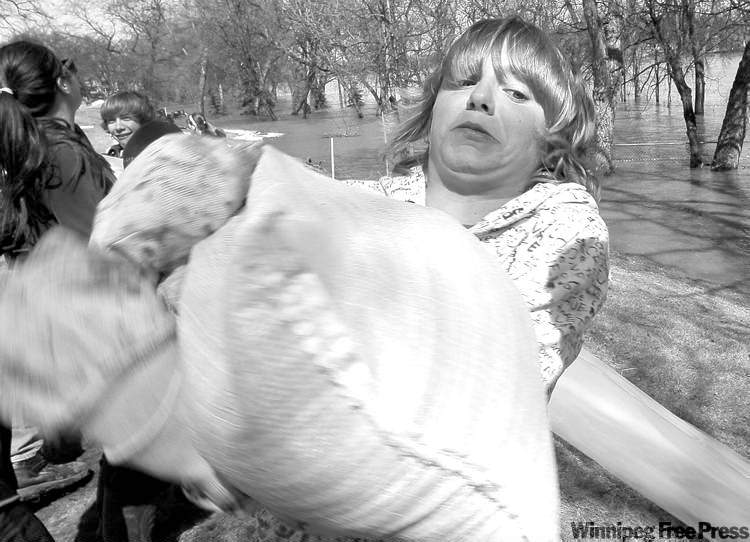
There have been 669 evacuations related to flooding, primarily from the Peguis, Roseau River and Dauphin River first nations.
Red River Valley
Highway 75 continues to be monitored, but was still open Thursday. Residents of the personal-care home in St. Adolphe will be transferred to Grunthal early next week in a precautionary move.
Southwest Manitoba / Assiniboine River
A significant ice jam caused sudden high water levels at Spruce Woods Provincial Park and overtopped the dike on PTH 5.
Tracks along the main Canadian Pacific Railway line have been damaged by flood waters east of Brandon. Trains are being temporarily rerouted.
Patients in care homes in Wawanesa and Gladstone have been moved to alternate facilities.
Forecast summary
Significant snow is forecast for the upper portions of the Red, Souris, and Assiniboine river basins this weekend.
Red River
Water levels on the main stem of the Red River at Emerson increased 0.36 feet since Wednesday. Water levels at the Red River Floodway inlet have declined slightly since Wednesday.
Assiniboine River
Ice has moved out at various locations along the Assiniboine River and the main stem of the river remains within its banks at most locations.
Pembina River
A flood warning remains in effect for the Pembina River between Rock Lake and upstream of La Rivière. Flows on the main stem of the Pembina River and its tributaries are expected to crest for a longer period of time than in previous years.
Souris River

A flood warning remains in effect for the Souris River between Melita and Wawanesa and the river is over the banks at several locations. The water level on the Souris River near Melita has increased 1.5 feet since Wednesday, and 2.5 feet at Wawanesa.
Interlake Region
The Icelandic River has crested and flows are decreasing. The Icelandic River has reached bank-full in Arborg. Water levels upstream of Riverton have decreased. Water levels in the Fisher River have stabilized after rising more than three feet.
— source: Government of Manitoba
Related Articles
Ice jam breaks west of Winnipeg; rivers expected to rise in city


Advertisement Advertise With Us
Advertisement Advertise With Us