

Uneven city wards ignored by council
No decision until after census
Advertisement
Read this article for free:
or
Already have an account? Log in here »
To continue reading, please subscribe:
Digital Subscription
One year of digital access for only $1.44 a week*
- Enjoy unlimited reading on winnipegfreepress.com
- Read the E-Edition, our digital replica newspaper
- Access News Break, our award-winning app
- Play interactive puzzles
*Billed as $5.77 plus GST every four weeks. After 52 weeks, price increases to the regular rate of $19.95 plus GST every four weeks. Offer available to new and qualified returning subscribers only. Cancel any time.
To continue reading, please subscribe:
Add Free Press access to your Brandon Sun subscription for only an additional
$1 for the first 4 weeks*
- Enjoy unlimited reading on winnipegfreepress.com
- Read the E-Edition, our digital replica newspaper
- Access News Break, our award-winning app
- Play interactive puzzles
*Your next Brandon Sun subscription payment will increase by $1.00 and you will be charged $17.95 plus GST for four weeks. After four weeks, your payment will increase to $24.95 plus GST every four weeks.
Read unlimited articles for free today:
or
Already have an account? Log in here »
Hey there, time traveller!
This article was published 10/04/2013 (4807 days ago), so information in it may no longer be current.
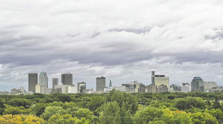
Uneven growth in different regions of Winnipeg has exacerbated the population disparity among city council wards — but politicians are poised to ignore the problem for another four years.
Between 2006 and 2011, the City of Winnipeg’s population grew by 37,878, a census-data analysis released late last week by the city clerk’s department said. But the rate of growth varied widely among city council’s 15 wards.
A single ward, Old Kildonan, accounted for more than a fifth of the city’s growth, as 7,808 people moved into Amber Trails and other neighbourhoods in Winnipeg’s northernmost political jurisdiction.
Significant growth in St. Boniface, St. Norbert and St. Vital, fuelled by new housing developments, added to the existing population bulge in southeast Winnipeg, while slow or negative growth in St. Charles, St. James-Brooklands and Charleswood-Tuxedo pointed to the absence of new homes in western Winnipeg.
The net result is St. Boniface, now Winnipeg’s largest ward, has more than 54,000 people, while St. Charles, the city’s smallest, has fewer than 32,000. St. Charles is now the only Winnipeg ward in which the population varies by more than 25 per cent from the rest of the city — a variance that demands the ward’s boundaries be changed the next time the city reconfigures its political boundaries.
A report before council’s governance committee, however, recommends against making any such change until after the 2014 general election. The committee will consider a plan Thursday to wait until the 2016 census to rejig Winnipeg’s ward boundaries.
If approved, the city won’t have new ward boundaries until the 2018 general election. Existing city councillors, who already passed up the chance to add one or two more wards in time for the 2014 race, are resigned to live with the uneven population distribution until then.
“I don’t mind representing that many people, but it’s unfair one ward has 54,000 and another has 32,000,” said St. Boniface Coun. Dan Vandal, who represents Winnipeg’s largest ward.
He rarely sends mailouts because of the cost of reaching so many residences in both official languages.
St. Charles Coun. Grant Nordman, who represents Winnipeg’s smallest ward, said he was OK with the uneven distribution until he helped his brother Greg campaign in a council byelection in St. Vital, the city’s third-largest ward.
“It’s like a federal riding,” said the council speaker, who also chairs the governance committee. “And here I am with 20,000 fewer people than some of the other guys.”
Population disparity is not the only consequence of leaving ward boundaries alone. There are geographic issues with the existing city ward map.
A small section of St. Vital, for example, belongs to the St. Norbert ward, most of which lies on the opposite side of the Red River. Most of the population of the North Point Douglas neighbourhood resides in the Mynarski ward instead of Point Douglas. Several sections of Fort Rouge-East Fort Garry are on the north side of the Assiniboine River.
Council had the chance to remedy this situation in 2012 by adding two more wards, a move allowable without provincial permission. Instead, Nordman pushed for the addition of one new ward, which likely would have been carved out of southeast Winnipeg, with the permission of the province.

Council, however, balked at the $175,000 cost of adding one more councillor’s salary and an additional ward spending allowance. “Everyone said just leave it alone and let’s wait for 2011 (census) numbers,” Nordman said.
This year, however, council voted to boost ward spending by a total of $600,000, negating any savings resulting from putting off changes to ward boundaries — which will remain the same until 2017, pending a vote Thursday.
bartley.kives@freepress.mb.ca
Disparity within Winnipeg’s borders
| COUNCIL WARDS | POPULATION IN 2011 | CHANGE SINCE 2006 |
| St. Boniface | 54,194 | up 5,034 since 2006 |
| St. Norbert | 53,544 | up 5,894 |
| St. Vital | 52,340 | up 2,260 |
| River Heights-Fort Garry | 51,653 | up 3,188 |
| Old Kildonan | 49,096 | up 7,806 |
| Daniel McIntyre | 45,542 | up 1,547 |
| Fort Rouge-East Fort Garry | 45,510 | up 360 |
| Elmwood-East Kildonan | 43,396 | up 1,801 |
| Point Douglas | 42,571 | up 2,791 |
| Mynarski | 42,145 | up 2,345 |
| Charleswood-Tuxedo | 41,819 | down 361 |
| Transcona | 36,849 | up 3,939 |
| North Kildonan | 36,451 | down 179 |
| St. James-Brooklands | 36,009 | up 969 |
| St. Charles | 31,915 | up 485 |
— Source: City Clerk’s department
History
Updated on Wednesday, April 10, 2013 7:09 AM CDT: corrects typo
Updated on Wednesday, April 10, 2013 10:34 AM CDT: adds table
Updated on Wednesday, April 10, 2013 1:16 PM CDT: adds Point Douglas to table