

Limited water sources bedevil Manitoba fire battle
Advertisement
Read this article for free:
or
Already have an account? Log in here »
To continue reading, please subscribe:
Monthly Digital Subscription
$1 per week for 24 weeks*
- Enjoy unlimited reading on winnipegfreepress.com
- Read the E-Edition, our digital replica newspaper
- Access News Break, our award-winning app
- Play interactive puzzles
*Billed as $4.00 plus GST every four weeks. After 24 weeks, price increases to the regular rate of $19.95 plus GST every four weeks. Offer available to new and qualified returning subscribers only. Cancel any time.
Monthly Digital Subscription
$4.99/week*
- Enjoy unlimited reading on winnipegfreepress.com
- Read the E-Edition, our digital replica newspaper
- Access News Break, our award-winning app
- Play interactive puzzles
*Billed as $19.95 plus GST every four weeks. Cancel any time.
To continue reading, please subscribe:
Add Free Press access to your Brandon Sun subscription for only an additional
$1 for the first 4 weeks*
*Your next subscription payment will increase by $1.00 and you will be charged $16.99 plus GST for four weeks. After four weeks, your payment will increase to $23.99 plus GST every four weeks.
Read unlimited articles for free today:
or
Already have an account? Log in here »
Hey there, time traveller!
This article was published 29/07/2021 (1686 days ago), so information in it may no longer be current.
Four wildfires in eastern Manitoba have merged to create one huge inferno east of Bloodvein First Nation.
At 80,000 hectares, it’s one of the largest wildfires on record, a spokesman for the province said Thursday.
It’s currently the third-largest active fire in the province.
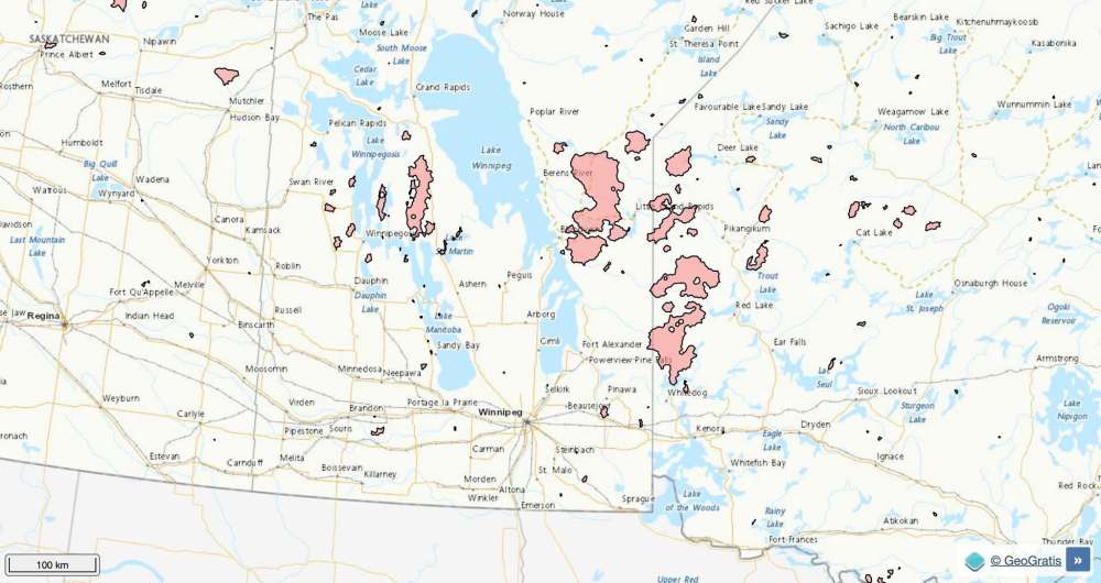
A fire directly north, east of Berens River First Nation, was estimated at 230,000 hectares on Thursday.
Residents of both First Nations were evacuated to Winnipeg and Brandon because of the dense smoke that has enveloped the region.
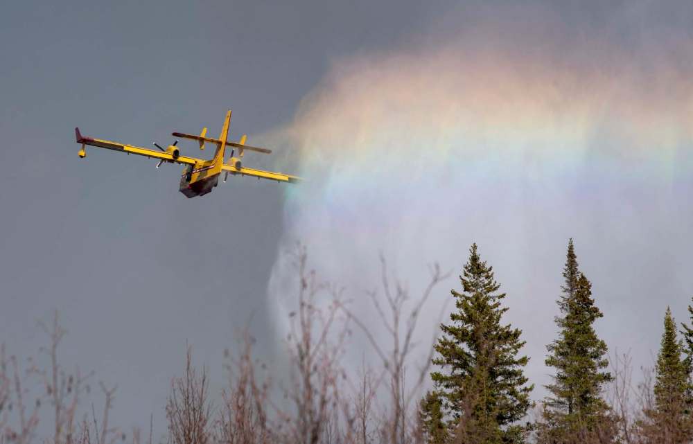
The two fires are creating challenges for firefighters, said Don Hallett, assistant director of the Manitoba Wildfire Service.
“There’s limited water sources in a number of locations throughout there,” he said. “With the extremely dry conditions that Manitoba has been experiencing this spring and summer, these fires that burn at this intensity tend to burn deeper into the ground, taking more resources and more time to put out.”
The fires don’t immediately threaten the evacuated communities, said Hallett. He couldn’t say when residents of the communities will be able to return home, but with fires of similar size often burning for months, it’s likely it could be a long evacuation.
Hallett said they need significant rainfall to make headway.
“If we get some good precipitation, we’re able to make a lot of fireline in a hurry, but we need that co-operation from nature,” he said.
Reinforcements from Nova Scotia, New Brunswick and the Canadian Armed Forces are already battling fires across the province. Hallet said more support from Nova Scotia and Quebec are not yet confirmed.
A full travel ban restricts everyone who is not a permanent resident from entering the region. This includes the area north of the Wanipigow River, east of Lake Winnipeg to the Ontario border, including Atikaki Provincial Park and north to Poplar River.
The wildfire near Gypsumville, 270 kilometres north of Winnipeg near Highway 6, has consumed more than 200,000 hectares since it began May 12.
Meantime, the wildfire service has gradually lifted fire and travel restrictions in the north, due to improved weather conditions.
Areas along the Saskatchewan border from Clearwater Lake Provincial park to the province’s northern border are at level one restrictions. An area that covers the northern edge of Lake Winnipeg to the Ontario border and Hudson Bay, is also at level one. That means campfires and motorized backcountry travel are allowed between 8 p.m. and 8 a.m.

The province said the south and central regions are under extreme fire danger levels, and restrictions will continue to be enforced.
The areas south of Clearwater Lake Provincial Park, east through the Interlake and southeastern regions bordering Ontario remain at level two restrictions. Camping in these areas is restricted to developed campgrounds; landing and launching watercraft must be done at developed shorelines only; all motorized backcountry travel is prohibited, and campfires are allowed only between 8 p.m. and 8 a.m. Wayside parks remain open.
Fireworks and sky lanterns are prohibited in all provincial parks.
It’s believed the largest fire on record took place in 1989, when 3.9 million hectares were consumed by flames across Manitoba.
cody.sellar@freepress.mb.ca
History
Updated on Thursday, July 29, 2021 10:01 PM CDT: Fixes typo.