

Feds, province to map Manitoba’s flood-prone areas
Advertisement
Read this article for free:
or
Already have an account? Log in here »
To continue reading, please subscribe:
Digital Subscription
One year of digital access for only $1.44 a week*
- Enjoy unlimited reading on winnipegfreepress.com
- Read the E-Edition, our digital replica newspaper
- Access News Break, our award-winning app
- Play interactive puzzles
*Billed as $5.77 plus GST every four weeks. After 52 weeks, price increases to the regular rate of $19.95 plus GST every four weeks. Offer available to new and qualified returning subscribers only. Cancel any time.
To continue reading, please subscribe:
Add Free Press access to your Brandon Sun subscription for only an additional
$1 for the first 4 weeks*
- Enjoy unlimited reading on winnipegfreepress.com
- Read the E-Edition, our digital replica newspaper
- Access News Break, our award-winning app
- Play interactive puzzles
*Your next Brandon Sun subscription payment will increase by $1.00 and you will be charged $17.95 plus GST for four weeks. After four weeks, your payment will increase to $24.95 plus GST every four weeks.
Read unlimited articles for free today:
or
Already have an account? Log in here »
Hey there, time traveller!
This article was published 12/10/2017 (3178 days ago), so information in it may no longer be current.
The federal and provincial governments are embarking on a three-year project that will see detailed topographic maps produced of three flood-vulnerable areas of Manitoba, including along the lower Assiniboine River from Portage la Prairie to Headingley.
At an announcement Thursday at The Forks, the federal government announced it would pay half of the $1.6-million cost of producing flood maps that can be used to determine the effect of a particular flood.
The maps will provide a scientific basis for land-use planning and may be used to determine whether property owners in flood-prone areas should be bought out, Infrastructure Minister Ron Schuler told a news conference.
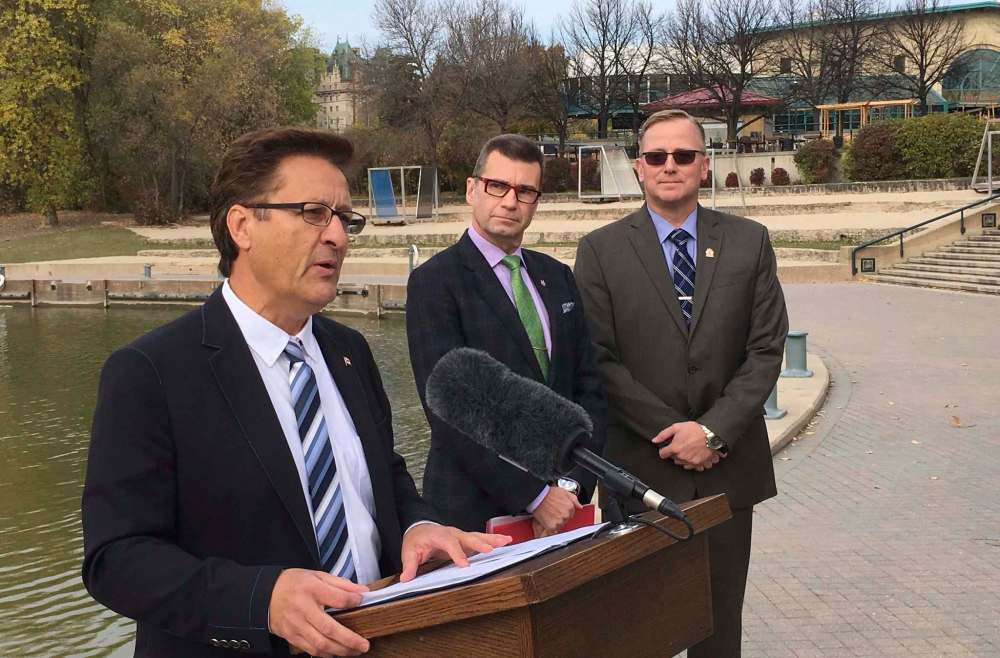
“I think we have to be a little bit smarter about where we build,” Schuler said. “This will give us the real science behind where you are in danger if you are going to be building any kind of development.”
In addition to the lower Assiniboine River, the other two priority areas are the Souris and Whitemud rivers.
Manitoba will use Light Detection and Ranging (LiDAR) remote sensing technology to produce the flood-risk maps. LiDAR uses laser technology to collect accurate, continuous elevation data — topographic data — over large areas.
Along the Assiniboine River, the data will be used to determine the effect of a once-in-200-year flood. Provincial officials say the information can also advise on the potential local impact of flooding on any given year.
Federal funding for the project will flow from the national disaster mitigation orogram.

“The funding announcement today will help expand the mapping of flood prone areas of the province and allow us to better prepare for flood events,” Schuler said. “Keeping our communities safe is what this is about.”
Doug Eyolfson, MP for Charleswood-St. James Assiniboia-Headingley, pinch-hitting for Public Safety and Emergency Preparedness Minister Ralph Goodale, said the purpose of the federal program is to reduce the risk and cost of flooding and other natural disasters.
“Identifying the boundaries of a potential flood event is critical,” Eyolfson said. “It helps support informed decisions and investments, all of which help reduce the impact of flooding in communities across the province.”
larry.kusch@freepress.mb.ca