Slow melt dries up flood fears
Advertisement
Read this article for free:
or
Already have an account? Log in here »
To continue reading, please subscribe:
Monthly Digital Subscription
$1 per week for 24 weeks*
- Enjoy unlimited reading on winnipegfreepress.com
- Read the E-Edition, our digital replica newspaper
- Access News Break, our award-winning app
- Play interactive puzzles
*Billed as $4.00 plus GST every four weeks. After 24 weeks, price increases to the regular rate of $19.95 plus GST every four weeks. Offer available to new and qualified returning subscribers only. Cancel any time.
Monthly Digital Subscription
$4.99/week*
- Enjoy unlimited reading on winnipegfreepress.com
- Read the E-Edition, our digital replica newspaper
- Access News Break, our award-winning app
- Play interactive puzzles
*Billed as $19.95 plus GST every four weeks. Cancel any time.
To continue reading, please subscribe:
Add Free Press access to your Brandon Sun subscription for only an additional
$1 for the first 4 weeks*
*Your next subscription payment will increase by $1.00 and you will be charged $16.99 plus GST for four weeks. After four weeks, your payment will increase to $23.99 plus GST every four weeks.
Read unlimited articles for free today:
or
Already have an account? Log in here »
Hey there, time traveller!
This article was published 15/04/2019 (2565 days ago), so information in it may no longer be current.
EMERSON — The biggest flood since 2009 has not quite turned into the big yawn of 2019 yet, but it’s close.
What was forecast to be a Red River flood matching that of 2009 has been downgraded to less than the 2011 flood. That’s a gap of two years but a difference of about five feet in water levels.
“That’s a huge difference out here,” said Jim Becker, out for a stroll on a beautiful sunny afternoon on Sunday. Becker had just detoured off a town street and was walking along the top of the dike protecting Emerson from waters that have not yet arrived.
“This is the slowest melt I have ever seen,” said Becker. The slow melt means the water doesn’t all run off at once, which means a lower peak flow. A lot of the runoff will have departed by the time the peak surge arrives from North Dakota next week. The Red River is now forecast to crest at Emerson between April 20 and 22.
Former flood forecasting guru Alf Warkentin has said it hasn’t been since 1966 that such a slow melt has put the brakes on a seemingly serious flood.
As well, the Pembina River has already delivered its maximum discharge into the Red and is now below flood stage. There’s always the danger of the Pembina River and the Red synchronizing their crests but not in 2019.
“Mother Nature has been good to us this year,” said Becker.
In other flood news, the province put the floodway into action as of noon on Sunday. Its operation is not expected to raise water levels upstream of the floodway, the province said.
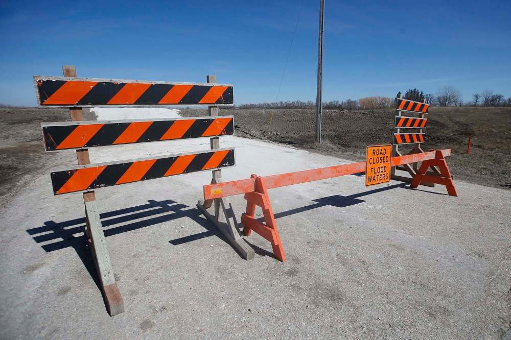
The province said closing Highway 75 north of Morris next week may not be necessary now despite heavy snow and rain dumped on North Dakota last week.
The biggest problem now for communities along the Red may be guarding against complacency. Water level forecasts can be wrong and weather can suddenly deliver a dollop of precipitation.
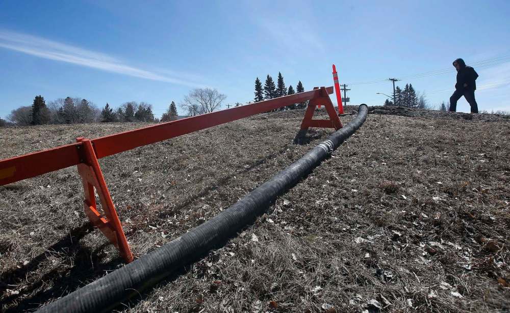
So a skeleton crew from Manitoba Infrastructure was out Sunday in Emerson maintaining pumps and checking for any holes or cracks in the ring dike. Last fall was very dry and that produces a lot of cracks in the mud.
“We’re looking pretty good,” said David Carlson of Dominion City, the first-time reeve for the RM of Emerson-Franklin elected last fall.
He isn’t sure how much overland flooding there will be this year. “It’s expected to be above average (flooding) but nothing we haven’t seen before,” he said. At the 2011 flood level, “it’s just going to be high water. Nuisance stuff.”
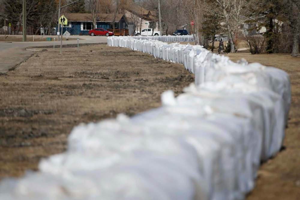
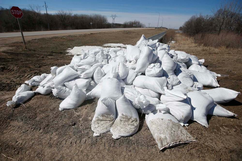
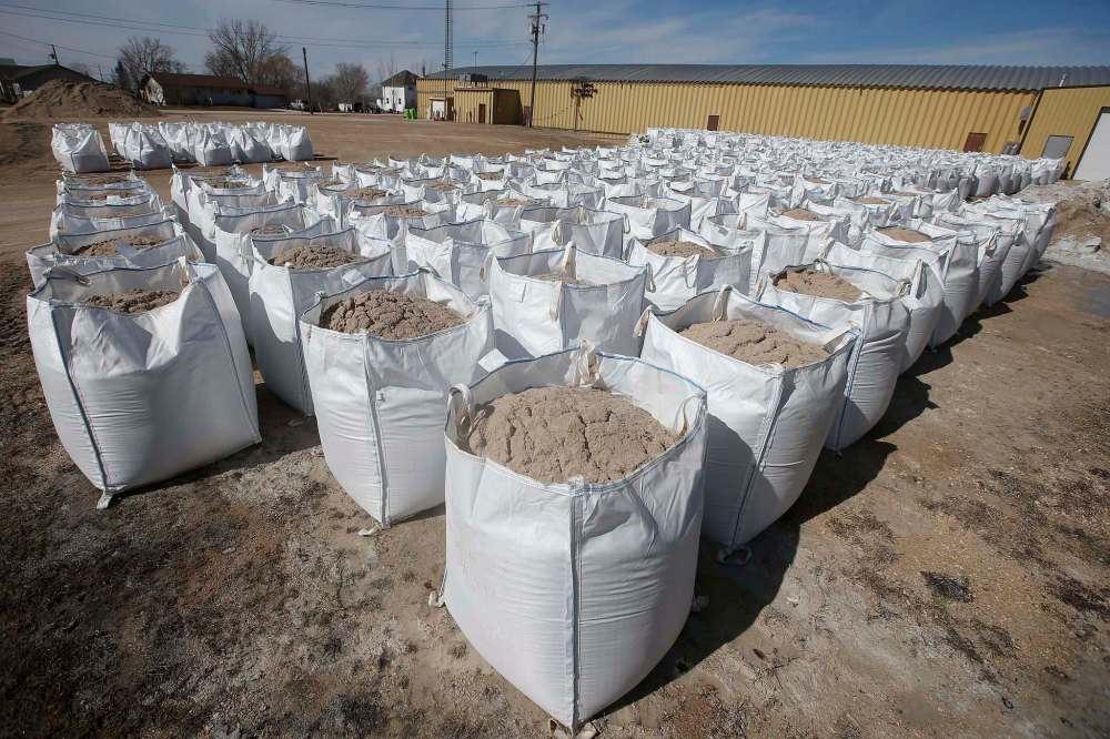
The town of Emerson has 3,500 sandbags filled for those residences at risk. The ring dike has also been closed at some trouble spots. Those are roads in low-lying areas.
“Flooding comes with the territory here — literally,” said Kyle Hiebert, manager of the Emerson Duty Free Shop. “We’re just taking it in stride.”
At the other end of the river in the RM of Ritchot, including Ste. Agathe, Manitoba Infrastructure has suspended sandbag work because of the improved flood outlook, said Ritchot Mayor Chris Ewen.

What are called “super sandbags” — sandbags the size of two filing cabinets standing side by side — have already been laid along the river protecting part of Ste. Agathe but water isn’t expected to reach the sandbag wall now, Ewen said. More super sandbags sit full or half-full at a nearby parking lot.
However, the RM will be closing St. Mary’s Road that runs from Winnipeg to St. Adolphe. Called the “north dike” locally, it will have an overpass built on top of it and traffic lights installed to allow vehicles to still go through, Ewen said.
“We do it whenever there’s any water because it’s such a low spot,” he said.
In addition to Emerson, St. Jean Baptiste has also had a partial ring dike closure. Partial ring dike closures are also expected at Morris, Letellier, Ste. Agathe and St. Adolphe.
bill.redekop@freepress.mb.ca