

Parts of Ontario under winter storm watch as Environment Canada warns of major snow
Advertisement
Read this article for free:
or
Already have an account? Log in here »
To continue reading, please subscribe:

Digital Subscription
One year of digital access for only $205*
- Enjoy unlimited reading on winnipegfreepress.com
- Read the E-Edition, our digital replica newspaper
- Access News Break, our award-winning app
- Play interactive puzzles
*First annual payment billed as $205.00 + GST for one year. This annual subscription will automatically renew at $233.00 + GST every 52 weeks (10% off the regular annual price of $259.35). Offer available to new and qualified returning subscribers only. Cancel any time.
To continue reading, please subscribe:
Add Free Press access to your Brandon Sun subscription for only an additional
$1 for the first 4 weeks*
- Enjoy unlimited reading on winnipegfreepress.com
- Read the E-Edition, our digital replica newspaper
- Access News Break, our award-winning app
- Play interactive puzzles
*Your next Brandon Sun subscription payment will increase by $1.00 and you will be charged $17.95 plus GST for four weeks. After four weeks, your payment will increase to $24.95 plus GST every four weeks.
Read unlimited articles for free today:
or
Already have an account? Log in here »
Hey there, time traveller!
This article was published 08/01/2024 (997 days ago), so information in it may no longer be current.
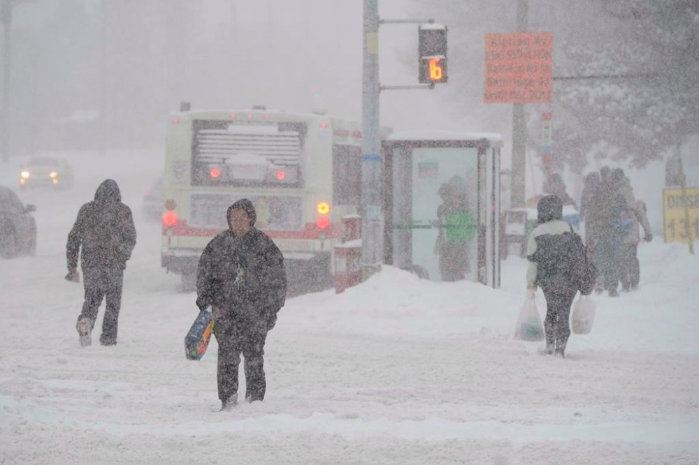
A major winter storm is expected to pass through parts of Ontario, bringing heavy snowfall and a risk of freezing rain.
Environment Canada says snow associated with a “major” winter storm is forecast to arrive Tuesday and continue into Wednesday morning, as it placed parts of central and eastern Ontario under a storm watch.
The heaviest snow is predicted for central Ontario, including Sault Ste. Marie and Greater Sudbury, where Environment Canada is calling for between 15 and 30 centimetres starting Tuesday afternoon.
Ottawa and the surrounding area are also under a storm watch with Environment Canada predicting 10 to 20 centimetres of snow, possibly turning into freezing rain and ice pellets Tuesday night.
Toronto, Hamilton and communities along Lake Ontario’s north shore are also under a special weather statement, with Environment Canada forecasting snowfall of between five and 10 centimetres, hazardous travel conditions and possibly up to 40 millimetres of rain around the lake.
Areas a bit further north, around Owen Sound, Barrie and Kawartha Lakes, are also under a special weather statement with a predicted risk of freezing rain and up to 15 centimetres of snow.
This report by The Canadian Press was first published Jan. 8, 2023.