

Snow squalls expected in parts of southwestern Ontario
Advertisement
Read this article for free:
or
Already have an account? Log in here »
To continue reading, please subscribe:
Monthly Digital Subscription
$1 per week for 24 weeks*
- Enjoy unlimited reading on winnipegfreepress.com
- Read the E-Edition, our digital replica newspaper
- Access News Break, our award-winning app
- Play interactive puzzles
*Billed as $4.00 plus GST every four weeks. After 24 weeks, price increases to the regular rate of $19.95 plus GST every four weeks. Offer available to new and qualified returning subscribers only. Cancel any time.
Monthly Digital Subscription
$4.99/week*
- Enjoy unlimited reading on winnipegfreepress.com
- Read the E-Edition, our digital replica newspaper
- Access News Break, our award-winning app
- Play interactive puzzles
*Billed as $19.95 plus GST every four weeks. Cancel any time.
To continue reading, please subscribe:
Add Free Press access to your Brandon Sun subscription for only an additional
$1 for the first 4 weeks*
*Your next subscription payment will increase by $1.00 and you will be charged $16.99 plus GST for four weeks. After four weeks, your payment will increase to $23.99 plus GST every four weeks.
Read unlimited articles for free today:
or
Already have an account? Log in here »
LONDON – Part of southwestern Ontario were under snow squall warnings Sunday as a winter storm continued to pummel the area with snowfall.
Environment Canada said the area from Florence to London, as well as areas along the eastern shore of Lake Huron and the Georgian Bay area, were all expected to see continued snowfall after a storm that began Saturday.
The weather agency said those areas could expect an additional five to 10 centimetres of snow through the afternoon, with total snowfall of 20 to 40 centimetres.
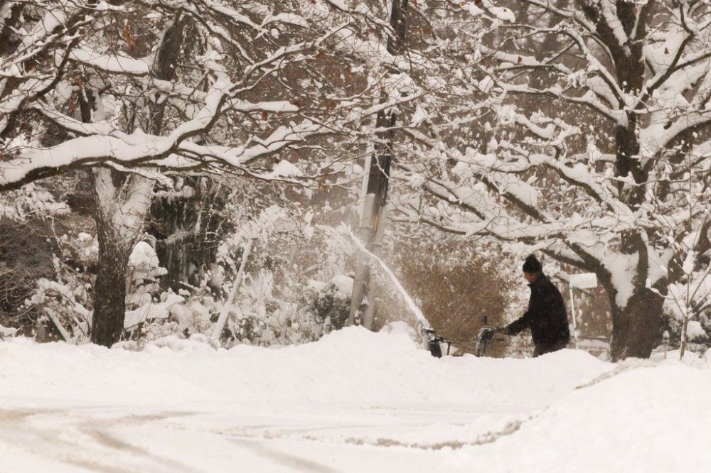
It said winds would shift with the most intense snow squall originating from Georgian Bay, and lake effect snow squalls off Lake Huron would bring the heaviest amounts of snow near the lakeshore.
The weather agency also issued special weather statements for the areas of Stratford and St. Thomas, saying those areas could expect to see five to 10 centimetres before ending near noon.
The weather agency warned of poor visibility in areas with heavy and blowing snow, and said travel would likely be hazardous across the area.
This report by The Canadian Press was first published Dec. 14, 2025.