

N.L. east coast bracing for ‘hazardous’ conditions as high winds and snow expected
Advertisement
Read this article for free:
or
Already have an account? Log in here »
To continue reading, please subscribe:
Monthly Digital Subscription
$1 per week for 24 weeks*
- Enjoy unlimited reading on winnipegfreepress.com
- Read the E-Edition, our digital replica newspaper
- Access News Break, our award-winning app
- Play interactive puzzles
*Billed as $4.00 plus GST every four weeks. After 24 weeks, price increases to the regular rate of $19.95 plus GST every four weeks. Offer available to new and qualified returning subscribers only. Cancel any time.
Monthly Digital Subscription
$4.99/week*
- Enjoy unlimited reading on winnipegfreepress.com
- Read the E-Edition, our digital replica newspaper
- Access News Break, our award-winning app
- Play interactive puzzles
*Billed as $19.95 plus GST every four weeks. Cancel any time.
To continue reading, please subscribe:
Add Free Press access to your Brandon Sun subscription for only an additional
$1 for the first 4 weeks*
*Your next subscription payment will increase by $1.00 and you will be charged $16.99 plus GST for four weeks. After four weeks, your payment will increase to $23.99 plus GST every four weeks.
Read unlimited articles for free today:
or
Already have an account? Log in here »
HALIFAX – Much of Newfoundland’s northern and eastern region is under a weather warning Sunday and overnight into Monday.
Environment Canada says a low pressure system is expected to bring snow and strong winds to the St. John’s area and through the Avalon Peninsula.
The island could see 15 to 30 centimetres of snow overnight, with northerly winds up to 70 kilometres per hour.
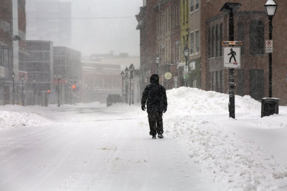
The highest snowfall is expected in the eastern Avalon Peninsula.
The weather agency says conditions will be “hazardous” and cautions people to avoid unnecessary travel.
Environment Canada says the low pressure system could stick around until Monday afternoon.
This report by The Canadian Press was first published Jan. 4, 2026.