

Frontal system brings heavy snow, strong winds and record warmth to areas of B.C.
Advertisement
Read this article for free:
or
Already have an account? Log in here »
To continue reading, please subscribe:

Digital Subscription
One year of digital access for only $205*
- Enjoy unlimited reading on winnipegfreepress.com
- Read the E-Edition, our digital replica newspaper
- Access News Break, our award-winning app
- Play interactive puzzles
*First annual payment billed as $205.00 + GST for one year. This annual subscription will automatically renew at $233.00 + GST every 52 weeks (10% off the regular annual price of $259.35). Offer available to new and qualified returning subscribers only. Cancel any time.
To continue reading, please subscribe:
Add Free Press access to your Brandon Sun subscription for only an additional
$1 for the first 4 weeks*
- Enjoy unlimited reading on winnipegfreepress.com
- Read the E-Edition, our digital replica newspaper
- Access News Break, our award-winning app
- Play interactive puzzles
*Your next Brandon Sun subscription payment will increase by $1.00 and you will be charged $17.95 plus GST for four weeks. After four weeks, your payment will increase to $24.95 plus GST every four weeks.
Read unlimited articles for free today:
or
Already have an account? Log in here »
Hey there, time traveller!
This article was published 27/02/2026 (187 days ago), so information in it may no longer be current.
VANCOUVER – A strong frontal system passing over British Columbia brought record warmth to parts of province, blustery winds over the Interior and piles of snow elsewhere.
Environment Canada says in its weather summary that winds reached 98 km/h in Hope on Thursday, 94 km/h in Lytton and 85 km/h at the Smithers Airport.
Temperatures reached 15.2 C in Salmon Arm, almost five degrees warmer than the same day the last record was set in 1932.
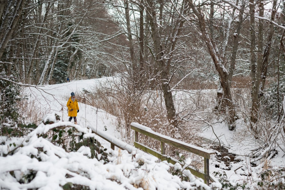
Decades-old records were also toppled in Cache Creek and Vernon by one degree or more.
The forecaster says Rodgers Pass received 38 cm of snow on Thursday and a snowfall warning remains up with another 15 centimetres expected before it tapers Friday night.
Snowfall warnings also remain up for the Yellowhead Highway through to the Alberta Boundary and the Kinbasket area as the cold front passes, bringing another five to 15 cm of snow and reduced visibility by late Friday.
This report by The Canadian Press was first published Feb. 27, 2026.