

Heavy rain and thunderstorms drench large stretch of Ontario, bringing flooding risk
Advertisement
Read this article for free:
or
Already have an account? Log in here »
To continue reading, please subscribe:
Digital Subscription
One year of digital access for only $1.44 a week*
- Enjoy unlimited reading on winnipegfreepress.com
- Read the E-Edition, our digital replica newspaper
- Access News Break, our award-winning app
- Play interactive puzzles
*Billed as $5.77 plus GST every four weeks. After 52 weeks, price increases to the regular rate of $19.95 plus GST every four weeks. Offer available to new and qualified returning subscribers only. Cancel any time.
To continue reading, please subscribe:
Add Free Press access to your Brandon Sun subscription for only an additional
$1 for the first 4 weeks*
- Enjoy unlimited reading on winnipegfreepress.com
- Read the E-Edition, our digital replica newspaper
- Access News Break, our award-winning app
- Play interactive puzzles
*Your next Brandon Sun subscription payment will increase by $1.00 and you will be charged $17.95 plus GST for four weeks. After four weeks, your payment will increase to $24.95 plus GST every four weeks.
Read unlimited articles for free today:
or
Already have an account? Log in here »
A round of heavy spring showers and thunderstorms is set to drench a large stretch of Ontario on Tuesday, with possible flooding in some areas.
Environment Canada has issued a series of weather statements and warnings spanning Sault Ste Marie and Sudbury to the north, east to the Ottawa region and beyond, most of the Greater Toronto Area and southwest to Sarnia and Windsor.
The weather agency said some areas could see as much as 30 millimetres of rain through Wednesday.
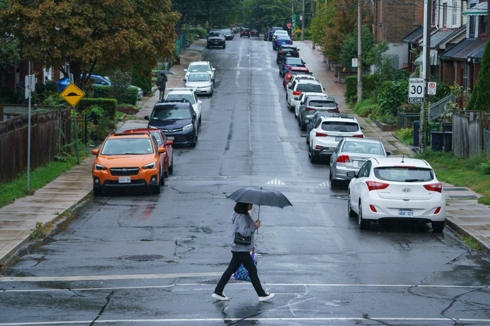
The ground is already near saturation, with little ability to absorb more rainfall, and water will likely pool on roads and in low-lying areas, it said.
The agency urged people not to drive through flooded roadways and to watch for washouts in areas near rivers, creeks and other waterways.
It said to consult local conservation authorities and Ministry of Natural Resources offices for flooding information.
The Toronto and Region Conservation Authority said the current forecast suggests a “higher potential for flooding” from the local river systems.
“If the forecasted rainfall happens, all rivers may rise above their normal levels,” the organization said in a statement, adding all shorelines, rivers and streams in its jurisdiction “should be considered dangerous.”
This report by The Canadian Press was first published April 14, 2026.