Completion of Maricopa Trail links parks around Phoenix
Advertisement
Read this article for free:
or
Already have an account? Log in here »
To continue reading, please subscribe:

Digital Subscription
One year of digital access for only $205*
- Enjoy unlimited reading on winnipegfreepress.com
- Read the E-Edition, our digital replica newspaper
- Access News Break, our award-winning app
- Play interactive puzzles
*First annual payment billed as $205.00 + GST for one year. This annual subscription will automatically renew at $233.00 + GST every 52 weeks (10% off the regular annual price of $259.35). Offer available to new and qualified returning subscribers only. Cancel any time.
To continue reading, please subscribe:
Add Free Press access to your Brandon Sun subscription for only an additional
$1 for the first 4 weeks*
- Enjoy unlimited reading on winnipegfreepress.com
- Read the E-Edition, our digital replica newspaper
- Access News Break, our award-winning app
- Play interactive puzzles
*Your next Brandon Sun subscription payment will increase by $1.00 and you will be charged $17.95 plus GST for four weeks. After four weeks, your payment will increase to $24.95 plus GST every four weeks.
Read unlimited articles for free today:
or
Already have an account? Log in here »
Hey there, time traveller!
This article was published 01/12/2018 (2792 days ago), so information in it may no longer be current.
PHOENIX – There’s a new way to get around metro Phoenix, or at least its circumference.
Maricopa County has completed a 315-mile (507-kilometre) hiking and biking trail that circles Phoenix and most of its suburbs.
The Arizona Republic reports that the completion this fall of four small sections of trail on state trust land means the Maricopa Trail now connects to 10 regional parks, including Lake Pleasant Regional Park on the north and Usery Mountain Regional Park in the east.
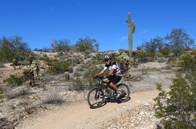
The trail has been 15 years in the making after being proposed five years before that.
“It is unbelievable. I just can’t believe we finished,” said R.J. Cardin said, the county’s parks and recreation director.
Former county Supervisor Andy Kunasek championed the trail project, persuading colleagues to start planning a connection between the regional parks nearly two decades ago.
“I just felt like it had to be done. When you look at the county map and where the county parks and bigger city parks are … they just form a ring around the whole Valley,” Kunasek said.
He likened the parks to gemstones and the trail to a chain that together forms “a piece of jewelry.”
Trail maintenance will be provided by volunteers. The Maricopa Trail & Park Foundation has committed to providing a bulk of the maintenance, but the county is still looking for volunteers to “adopt” a portion of the trail to maintain, Kunasek said.

Cardin said money to develop the trail was tight, with a $5 million for the budget from 2004 to 2018.
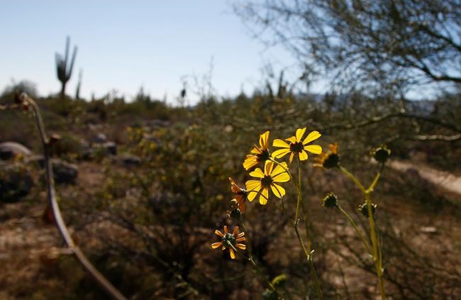
Work began in the north at Spur Cross Ranch Conservation Area, but progress was slow elsewhere because of the need to work with more than a dozen municipalities and multiple state and federal land agencies that own land traversed by the trail.
The trail system may get larger still because its current loop could soon by linked by spurs to the Hassayampa River Preserve in Wickenburg and Buckeye Hills Regional Park in Buckeye. Those cities are west and northwest of Phoenix, respectively.
The county hopes that the trail will help forge new bonds across the region, Cardin said.
“By having this trial, it loops around the entire Valley and connects neighbourhoods to communities, communities to cities and cities to one another across the county,” Cardin said.