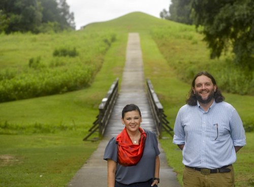
National Park Service delivers roadmap for protecting Georgia’s Ocmulgee River corridor
Advertisement
Read this article for free:
or
Already have an account? Log in here »
To continue reading, please subscribe:

Digital Subscription
One year of digital access for only $205*
- Enjoy unlimited reading on winnipegfreepress.com
- Read the E-Edition, our digital replica newspaper
- Access News Break, our award-winning app
- Play interactive puzzles
*First annual payment billed as $205.00 + GST for one year. This annual subscription will automatically renew at $233.00 + GST every 52 weeks (10% off the regular annual price of $259.35). Offer available to new and qualified returning subscribers only. Cancel any time.
To continue reading, please subscribe:
Add Free Press access to your Brandon Sun subscription for only an additional
$1 for the first 4 weeks*
- Enjoy unlimited reading on winnipegfreepress.com
- Read the E-Edition, our digital replica newspaper
- Access News Break, our award-winning app
- Play interactive puzzles
*Your next Brandon Sun subscription payment will increase by $1.00 and you will be charged $17.95 plus GST for four weeks. After four weeks, your payment will increase to $24.95 plus GST every four weeks.
Read unlimited articles for free today:
or
Already have an account? Log in here »
Hey there, time traveller!
This article was published 16/11/2023 (1055 days ago), so information in it may no longer be current.
ATLANTA (AP) — The National Park Service announced Thursday that it has delivered to Congress its long-awaited study on whether the Ocmulgee River corridor in central Georgia meets the criteria to be managed as a national park and preserve. The answer: Not quite, not yet.
But supporters aren’t dismayed — they say the study was based on initial, since-abandoned plans that raised concerns that have already been addressed, and they now have what’s needed to show Congress that the Muscogee Creek Nation’s historic homeland in central Georgia deserves federal protection.
The Special Resource Study says 120,000 acres (48,560 hectares) along more than 50 miles (80 kilometers) of river between Macon and Hawkinsville are nationally significant and suitable for a park, but it’s not feasible because the corridor includes too many private property owners and state-managed lands. Acquiring and managing all that land — which faces expanding threats from development, mining and timbering, would be too challenging.
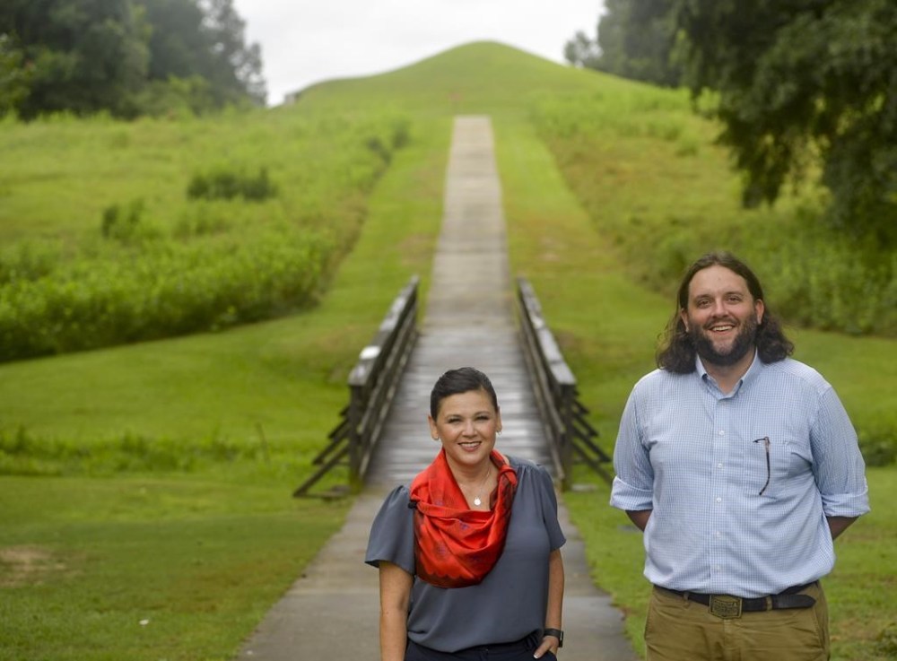
The park service said there is a path forward however — the study recommends formally partnering with the Muscogee Creek Nation and the Georgia Department of Natural Resources to manage a reduced area along the banks of the Ocmulgee “to mitigate many of the concerns that led to a negative finding.”
Seth Clark, Macon’s mayor pro-tem, said they’ve already done exactly these things — endorsing Georgia’s continued management of state lands, formally partnering with the Muscogee and securing a $1 million Knight Foundation grant to support a multiyear regional strategic plan to build out the park. Already, 1,000 more acres (405 hectares) of soon-to-be-public land is under contract.
“The SRS is studying a snapshot of time 2.5-3 years ago. We anticipated that, and chopped out the state-owned land already,” Clark said. “A bear doesn’t care whether it’s on state or federal land; as long as it’s protected, we’re good.”
Republican Rep. Austin Scott has joined with Georgia Democrats including U.S. Sens. Jon Ossoff and Raphael Warnock and Rep. Sanford Bishop in support. Ossoff’s office announced Thursday that they’re preparing bipartisan, bicameral legislation to make it happen.
“I’m incredibly optimistic,” Clark added. “We spoke with the congressional offices, and they think they got what they need to move forward.”