

Red’s early rise strong signal it’s unlikely to roar, Manitoba flood guru says
Advertisement
Read this article for free:
or
Already have an account? Log in here »
To continue reading, please subscribe:
Monthly Digital Subscription
$0 for the first 4 weeks*
- Enjoy unlimited reading on winnipegfreepress.com
- Read the E-Edition, our digital replica newspaper
- Access News Break, our award-winning app
- Play interactive puzzles
*No charge for 4 weeks then price increases to the regular rate of $19.00 plus GST every four weeks. Offer available to new and qualified returning subscribers only. Cancel any time.
Monthly Digital Subscription
$4.75/week*
- Enjoy unlimited reading on winnipegfreepress.com
- Read the E-Edition, our digital replica newspaper
- Access News Break, our award-winning app
- Play interactive puzzles
*Billed as $19 plus GST every four weeks. Cancel any time.
To continue reading, please subscribe:
Add Free Press access to your Brandon Sun subscription for only an additional
$1 for the first 4 weeks*
*Your next subscription payment will increase by $1.00 and you will be charged $16.99 plus GST for four weeks. After four weeks, your payment will increase to $23.99 plus GST every four weeks.
Read unlimited articles for free today:
or
Already have an account? Log in here »
Hey there, time traveller!
This article was published 31/03/2017 (3142 days ago), so information in it may no longer be current.
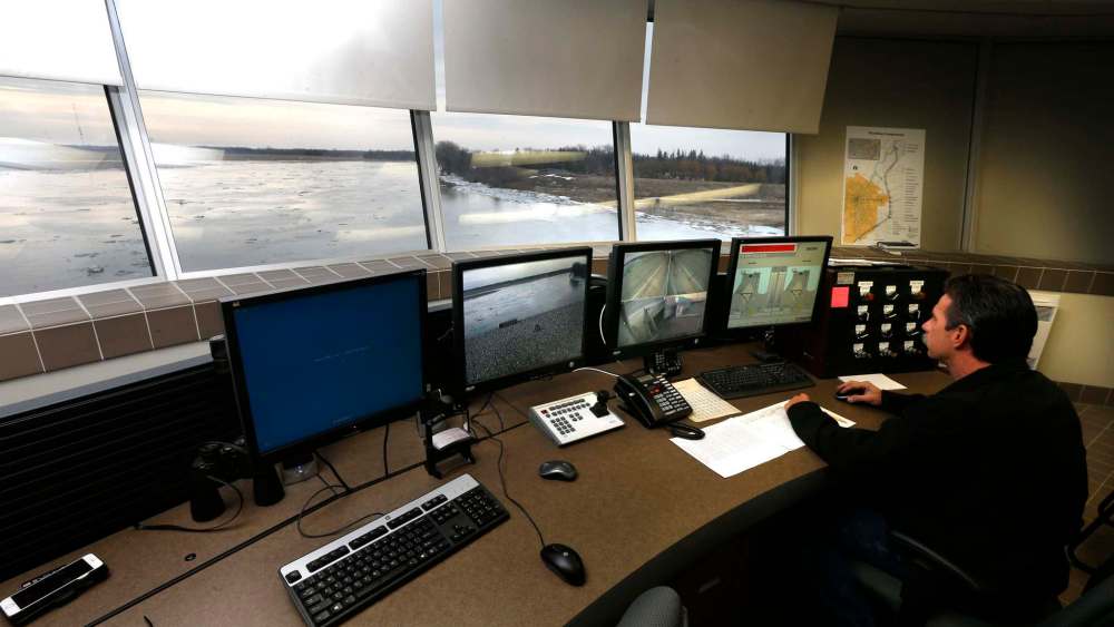
The threat of Red River flooding in Winnipeg this spring may be over as early as next week, says the province’s former flood forecaster.
“(The crest) will be pretty quick this year. By early next week, it will be on the downside,” said Alf Warkentin, who helped to steer Manitobans through numerous difficult springs, including the 1997 Flood of the Century.
The river is expected to crest in the city Saturday or Sunday, and remain at a high level for a short time, owing to the province’s decision to open the floodway Friday, he said.
The situation is unusual for the river, which normally doesn’t crest until middle- to late-April, Warkentin said. The high crests of major flood years tend to occur towards the end of April or early May, he said. Early crests are usually lower.
The early, lower crest is in stark contrast to some of the dire warnings issued by the province a month ago, when there were predictions of major flooding capable of closing Highway 75. That led to concerns about the well-being of asylum-seekers crossing the border by foot into Emerson.
The predicted peak flow of up to 100,000 cubic feet per second there will probably be more like 40,000 to 45,000 cfs, Warkentin said.
The Red has not crested yet at Emerson. The river is cresting in Winnipeg earlier this year because of runoff within Manitoba. The north-flowing river should peak at Emerson in the middle of next week and send a second, lower crest towards Winnipeg, he said.
However the province hasn’t gone as far as announcing the threat is over. It warned Friday that additional precipitation or a change in ice conditions could necessitate further flood-mitigation measures.
There could also be localized flooding in many areas from smaller rivers and creeks, as occurred Friday, when waters from the Pembina River forced the closure of the border crossing between Gretna and Neche, N.D.
Ralph Groening, reeve for the RM of Morris, was pleased to hear about Warkentin’s outlook, and said his word is still trusted in rural Manitoba.
“I was actually thinking of giving him a call. I have in past years,” he said. Warkentin retired in 2010 after 40 years of flood forecasting but continues to work as a consultant on water issues.
The province’s initial flood warnings were based on saturated soils from heavy rains last fall, and two large snowstorms in December. But while there was a lot of snow here, there was far less south of Grand Forks, an area that was already snow-free two weeks ago, Warkentin said. There was also below-average precipitation across the Red River Valley from January to March.
What caused the sudden peak in river flow for Winnipeg this weekend is the release of water from ditches and other tributaries as a result of mild temperatures this week. A significant amount of that water flowed into ditches during a warm spell in January and then froze.
Not as much water appears to be coming from the west on the Assiniboine River either, Warkentin said.
There still could be some ice jamming between Portage la Prairie and Headingley. People should expect some banks to overflow, and some flooding in valleys on the Assiniboine and Souris rivers, he said. “They’ll have more like average spring flows to a little bit above average,” he said.

Most farmers won’t be overly upset by a bit of flooding. “We’ve never lost a crop in April yet,” he said.
A major snowfall or rainstorm could change things and create a second crest, he said. A 10- to 15-millimetre rain would be inconsequential, but 25 mm could cause problems, he said.
But the later it occurs after this weekend’s crest, the less likely it is to create serious problems.
Predicted river levels in Winnipeg this weekend could range from 5.7 metres (18.6 feet) to 6.3 metres (20.8 feet) at James Avenue.
bill.redekop@freepress.mb.ca
Related Articles
Homeowners deal with surge aftermath as river begins to subside

Advertisement Advertise With Us
Advertisement Advertise With Us