

Spring snowfall warning issued for Thunder Bay, northern Ontario
Advertisement
Read this article for free:
or
Already have an account? Log in here »
To continue reading, please subscribe:

Digital Subscription
One year of digital access for only $205*
- Enjoy unlimited reading on winnipegfreepress.com
- Read the E-Edition, our digital replica newspaper
- Access News Break, our award-winning app
- Play interactive puzzles
*First annual payment billed as $205.00 + GST for one year. This annual subscription will automatically renew at $233.00 + GST every 52 weeks (10% off the regular annual price of $259.35). Offer available to new and qualified returning subscribers only. Cancel any time.
To continue reading, please subscribe:
Add Free Press access to your Brandon Sun subscription for only an additional
$1 for the first 4 weeks*
- Enjoy unlimited reading on winnipegfreepress.com
- Read the E-Edition, our digital replica newspaper
- Access News Break, our award-winning app
- Play interactive puzzles
*Your next Brandon Sun subscription payment will increase by $1.00 and you will be charged $17.95 plus GST for four weeks. After four weeks, your payment will increase to $24.95 plus GST every four weeks.
Read unlimited articles for free today:
or
Already have an account? Log in here »
Hey there, time traveller!
This article was published 26/03/2024 (919 days ago), so information in it may no longer be current.
It’s spring, but a winter-like heavy snowfall is expected in Thunder Bay, Ont., and vast areas across northern Ontario on the second day of a three-day storm system rolling through the region.
Environment Canada says the region has been forecast to see roughly 25 to 45 centimetres of snow between Sunday and Wednesday evening.
The agency estimates snowfall amounts of 10 to 20 centimetres in Thunder Bay and up to 35 centimetres in other areas including Fort Hope, Lansdowne and Ogoki.
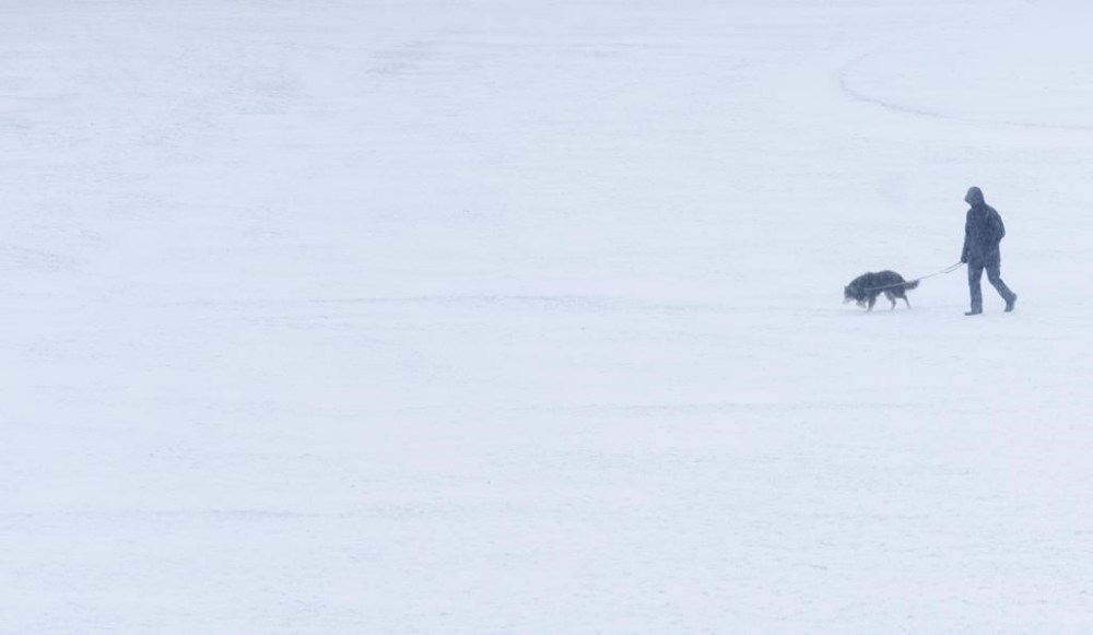
It says there is a risk of freezing rain and ice pellets for areas close to Lake Superior later this afternoon and evening.
The storm will be moving northeast toward Lake Superior and will continue north over northern Ontario.
Road closures are possible as heavy snow combined with strong northerly winds are expected to reduce visibility at times.
This report by The Canadian Press was first published March 26, 2024.