

China’s new national map has set off a wave of protests. Why?
Advertisement
Read this article for free:
or
Already have an account? Log in here »
To continue reading, please subscribe:

Digital Subscription
One year of digital access for only $205*
- Enjoy unlimited reading on winnipegfreepress.com
- Read the E-Edition, our digital replica newspaper
- Access News Break, our award-winning app
- Play interactive puzzles
*First annual payment billed as $205.00 + GST for one year. This annual subscription will automatically renew at $233.00 + GST every 52 weeks (10% off the regular annual price of $259.35). Offer available to new and qualified returning subscribers only. Cancel any time.
To continue reading, please subscribe:
Add Free Press access to your Brandon Sun subscription for only an additional
$1 for the first 4 weeks*
- Enjoy unlimited reading on winnipegfreepress.com
- Read the E-Edition, our digital replica newspaper
- Access News Break, our award-winning app
- Play interactive puzzles
*Your next Brandon Sun subscription payment will increase by $1.00 and you will be charged $17.95 plus GST for four weeks. After four weeks, your payment will increase to $24.95 plus GST every four weeks.
Read unlimited articles for free today:
or
Already have an account? Log in here »
Hey there, time traveller!
This article was published 01/09/2023 (1129 days ago), so information in it may no longer be current.
BANGKOK (AP) — China has upset many countries in the Asia-Pacific region with its release of a new official map that lays claim to most of the South China Sea, as well as to contested parts of India and Russia, and official objections continue to mount. What is the map, and why is it upsetting people so much?
WHAT IS CHINA CLAIMING?
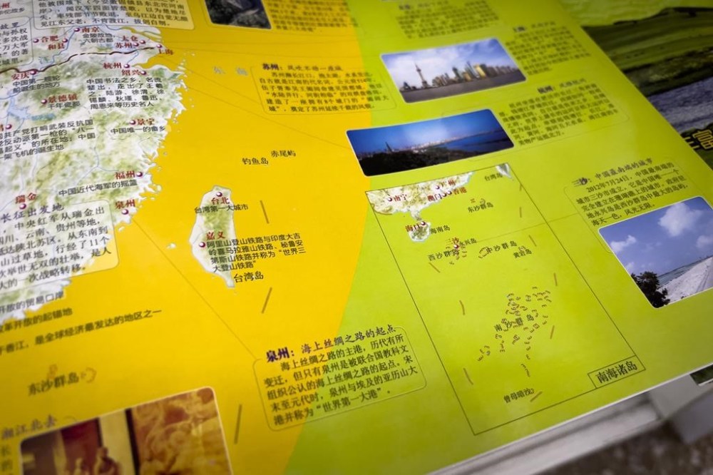
China’s Ministry of Natural Resources released the new “standard” national map on Monday, part of what it has called an ongoing effort to eliminate “problem maps.” In it, China clearly shows its so-called nine-dash line, demarcating what it considers its maritime border, claiming almost the entirety of the South China Sea. The current, and other recent iterations of the annual map, include a 10th dash to the east of Taiwan.
In the far northeastern corner of China on the border with Russia, it shows Bolshoy Ussuriysky Island, an island at the confluence of the Amur and Ussuri rivers, as Chinese territory, even though the countries signed an agreement nearly 20 years ago to split the island.
Along the southern border with India, it shows Arunachal Pradesh and the Doklam Plateau, over which China and India have long feuded, clearly within Chinese borders, along with Aksai Chin in the western section that China controls but India still claims.
HOW HAVE COUNTRIES REACTED?
China’s longstanding claims in the South China Sea have brought it into tense standoffs with Indonesia, Vietnam, Malaysia, Brunei and the Philippines, all of which have competing claims. China and India fought a war over their border in 1962, and the disputed boundary has led to a three-year standoff between tens of thousands of Indian and Chinese soldiers in the Ladakh area. A clash three years ago in the region killed 20 Indian soldiers and four Chinese.
After the release of the map, India fired back first, saying China’s claims have no basis. Indian External Affairs Ministry spokesperson Arindam Bagchi said “such steps by the Chinese side only complicate the resolution of the boundary question.” It lodged a formal complaint on Tuesday through diplomatic channels.
Malaysia then rejected China’s “unilateral claims” and added that the map is “not binding” to the country. Vietnam, Taiwan, Indonesia and the Philippines have since followed suit.
Vietnam said the claims violate its sovereignty over the Paracel and Spratly islands and jurisdiction over its waters and should be considered void because they violate the United Nations Convention on the Law of the Sea. Illustrating how provocative the nine-dash line is considered by Hanoi, Vietnam in July banned the popular “Barbie” movie because it includes a view of a map showing the disputed Chinese claims.
The self-governed island of Taiwan, which China claims as its own, also rejects the nine-dash line and Beijing’s South China Sea claims.
The territorial claims at times lead to direct confrontation. A little more than a week ago, Philippine boats breached a Chinese coast guard blockade in a disputed area of the South China Sea to deliver supplies to Filipino forces guarding a contested shoal.
In its response to the map, the Philippine Department of Foreign Affairs cited a 2016 ruling by an arbitration tribunal in The Hague under the U.N. Convention on the Law of the Sea that largely invalidated China’s claim to virtually the entire South China Sea and upheld the Philippines’ control over resources in a 200-nautical mile exclusive economic zone.
Russia, for which Chinese support in its war against Ukraine has been critical, has not yet responded.
WHAT DOES CHINA SAY?
Chinese Foreign Ministry spokesperson Wang Wenbin sidestepped questions Thursday about specifics of the nine-dash line and why China has been using a 10th dash in recent years, telling reporters only that “China’s stance on the South China Sea is consistent and clear.”
He also didn’t directly address the protests over the map, saying that the update was “routine practice every year” with the aim of providing standard maps and to “educate the public to use maps in accordance with rules.”
“We hope that the relevant sides can see it in an objective and rational way,” he said.
WHY NOW?
The national map is an annual production that could be released any time, and China knows well that its claims are contentious, even though they are not new.
It seems significant, then, that Beijing chose to release the map on the heels of a late August meeting of the BRICS nations — Brazil, Russia, India, China and South Africa — and just before China is to participate in top-level meetings of the Association of Southeast Asian Nations and the Group of 20 rich and developing nations.
At the BRICS meetings, the China-Russia relationship was broadly seen as strengthened as the group voted in favor of a proposal pushed by Beijing and Moscow to invite Iran and Saudi Arabia, along with four other countries, to join. On the sidelines, Indian Prime Minister Narendra Modi and Chinese President Xi Jinping even talked about their disputed border, agreeing to intensify efforts to de-escalate tensions.
Most of the governments with which China has disputes in the South China Sea are ASEAN members, and India is hosting the G20 talks.
In releasing the map now, Beijing is widely seen as signaling it has no intention of backing down on any of its claims and is making sure that its positions are fresh in the minds of other countries in the region.