

Climate change: P.E.I. introduces new risk assessment tools for flooding, erosion
Advertisement
Read this article for free:
or
Already have an account? Log in here »
To continue reading, please subscribe:
Monthly Digital Subscription
$0 for the first 4 weeks*
- Enjoy unlimited reading on winnipegfreepress.com
- Read the E-Edition, our digital replica newspaper
- Access News Break, our award-winning app
- Play interactive puzzles
*No charge for 4 weeks then price increases to the regular rate of $19.00 plus GST every four weeks. Offer available to new and qualified returning subscribers only. Cancel any time.
Monthly Digital Subscription
$4.75/week*
- Enjoy unlimited reading on winnipegfreepress.com
- Read the E-Edition, our digital replica newspaper
- Access News Break, our award-winning app
- Play interactive puzzles
*Billed as $19 plus GST every four weeks. Cancel any time.
To continue reading, please subscribe:
Add Free Press access to your Brandon Sun subscription for only an additional
$1 for the first 4 weeks*
*Your next subscription payment will increase by $1.00 and you will be charged $16.99 plus GST for four weeks. After four weeks, your payment will increase to $23.99 plus GST every four weeks.
Read unlimited articles for free today:
or
Already have an account? Log in here »
Hey there, time traveller!
This article was published 10/05/2024 (548 days ago), so information in it may no longer be current.
CHARLOTTETOWN – The P.E.I. government has introduced new online tools to help Islanders assess flooding and erosion risks associated with climate change.
The tools include a mapping portal that allows users to see areas at risk of coastal and inland flooding, as well as coastal erosion.
The Climate Hazard and Risk Information System (CHRIS) shows a detailed, interactive map of the Island that can display coastal flooding and erosion scenarios between 2020 and 2100.
As for inland flooding, CHRIS offers two climate scenarios over the next 10 to 100 years: a “current climate” scenario based on existing rainfall patterns, and a “future climate” scenario based on the predicted influence of climate change.
Users can also zoom in to witness changes along the province’s 3,000-kilometre coastline since 1968.
For those considering buying or building on the coast, the government has produced an updated property guide that offers advice about creating buffer zones, obtaining insurance and adapting to risks posed by erosion and flooding.
“The Island’s coastline is constantly subject to the natural processes of erosion,” the government said in a statement. “These normal processes become hazards when people choose to build homes, roads or other lasting infrastructure too close to the shore. The risk increases due to sea-level rise and increasing storm frequency and intensity.”
The new P.E.I. flood guide provides guidance to decision-makers drafting flood policies and reviewing development applications. The guide explains how to interpret flood hazard data and how land-use planning can reduce flood risks.
A study published in March 2020 by the European Commission Joint Research Centre said almost half the world’s sandy beaches face near extinction by the end of the century because of coastal erosion and rising sea levels.
Australia stands to lose the most, followed closely by Canada, the paper suggests. Models show Canada stands to lose between 6,400 and 14,400 kilometres of sandy beach by 2100. Canada’s total coastline is about 243,000 kilometres.
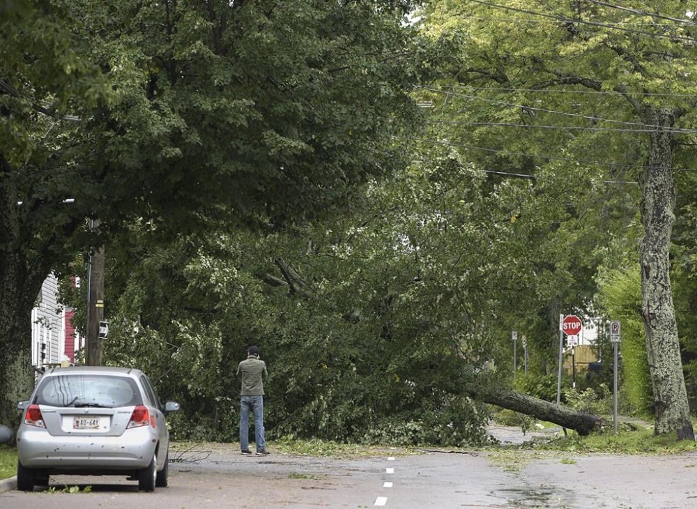
And that rate of loss can be exacerbated by fierce weather events like post-tropical storm Fiona, which battered Atlantic Canada in September 2022.
Fiona was the most costly extreme weather event ever recorded in Atlantic Canada, causing an estimated $660 million in insured damage, according to the Insurance Bureau of Canada.
With gusts reaching over 100 kilometres per hour, Fiona also unleashed torrential rainfall, large waves and storm surges that caused heavy damage along P.E.I.’s north coast. Island residents and businesses reported $220 million in insured damage.
The Intergovernmental Panel on Climate Change has said it was “virtually certain” that there had been an increase in intense tropical cyclone activity in the North Atlantic since the 1970s, and it’s likely that storm activity will increase, causing even more damage to P.E.I.’s coastline.
A coastal risk assessment by University of Prince Edward Island’s Climate Lab concluded that more than 1,000 homes, 450 outbuildings and 17 lighthouses remain vulnerable to coastal erosion.
Data show that between 1911 and 2011, the sea level measured at Charlottetown increased by 36 centimetres, and it is anticipated to increase by a further 100 centimetres over the next 100 years, according to the climate panel.
This report by The Canadian Press was first published May 10, 2024.
Related Articles
Reaping what we’ve sown
Advertisement Advertise With Us
Advertisement Advertise With Us