A new angle on Dawson Road
In search of the Dawson Road in a tiny corner of Minnesota
Advertisement
Read this article for free:
or
Already have an account? Log in here »
To continue reading, please subscribe:
Digital Subscription
One year of digital access for only $1.44 a week*
- Enjoy unlimited reading on winnipegfreepress.com
- Read the E-Edition, our digital replica newspaper
- Access News Break, our award-winning app
- Play interactive puzzles
*Billed as $5.77 plus GST every four weeks. After 52 weeks, price increases to the regular rate of $19.95 plus GST every four weeks. Offer available to new and qualified returning subscribers only. Cancel any time.
To continue reading, please subscribe:
Add Free Press access to your Brandon Sun subscription for only an additional
$1 for the first 4 weeks*
- Enjoy unlimited reading on winnipegfreepress.com
- Read the E-Edition, our digital replica newspaper
- Access News Break, our award-winning app
- Play interactive puzzles
*Your next Brandon Sun subscription payment will increase by $1.00 and you will be charged $17.95 plus GST for four weeks. After four weeks, your payment will increase to $24.95 plus GST every four weeks.
Read unlimited articles for free today:
or
Already have an account? Log in here »
Hey there, time traveller!
This article was published 26/08/2023 (1149 days ago), so information in it may no longer be current.
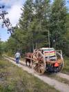
In the summer of 2022, Winnipegger Terry Doerksen and his wife Patty, along with Zik the ox pulling their replica Red River Cart, retraced the 800-odd kilometres of the historic Red River Trail, from Winnipeg to St. Paul, Minn. A new journey beckons for the Doerksens.
I guess I first became curious about the Dawson Road soon after moving to Winnipeg. I noticed it cutting its way diagonally through St. Boniface and aiming at the Red River. It forms awkward intersections with all the streets that align conscientiously with the compass points.
Coincidentally, Thunder Bay at the head of Lake Superior has a mirror-image street called Red River Road that starts at the lake and quickly turns into another Dawson Road.
Supplied
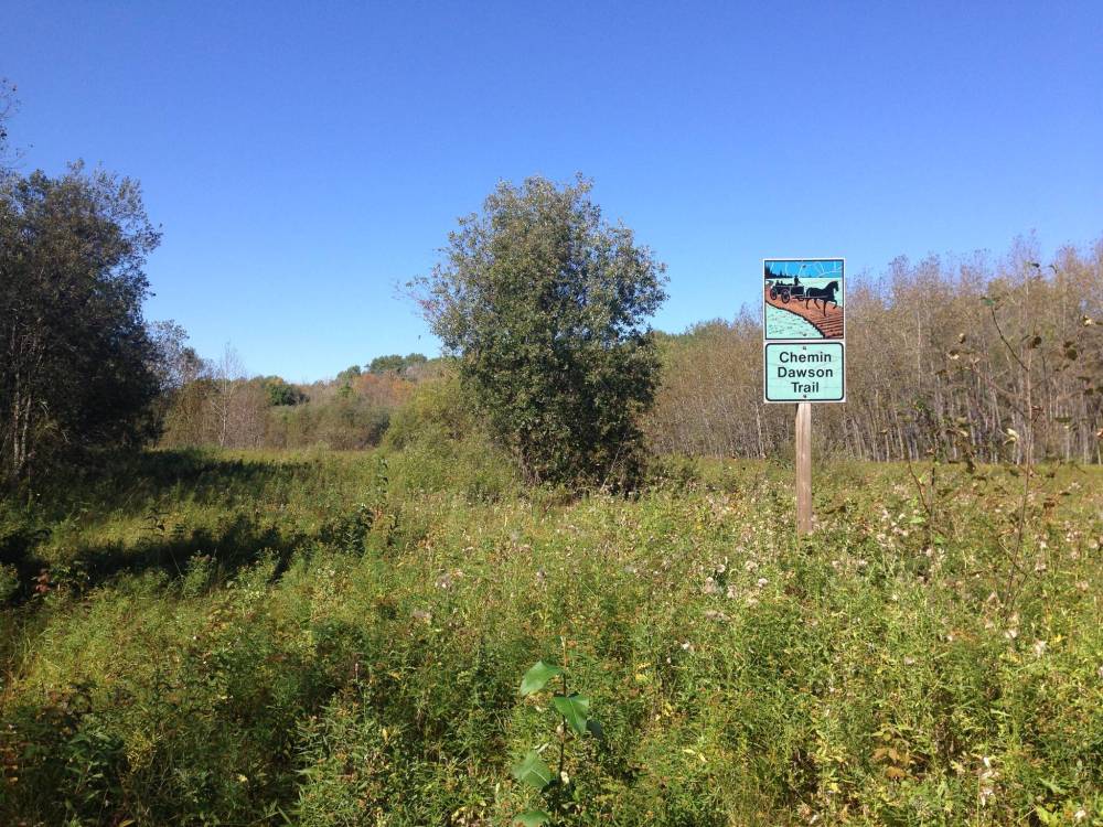
The historic trail is marked, though it is not readily visible.
That doppelganger shows the same predilection for going cross-country. I suppose I share that trait of heading off in an unorthodox direction and so I was drawn to find out the story behind the road(s?).
Here’s what I found: The government of the brand new country of Canada had a boundary quandary. They hoped to bring the lands out west into the Dominion, but the only way for people to get there from the east was through the United States.
They would take steamboats from Toronto through the Great Lakes to Minnesota. From there it would be ox carts up the Red River Trail or, later, paddle-wheelers up the river itself to finally arrive at the beginnings of a place we call Winnipeg.
Two problems.
1) Canada didn’t like to be at the mercy of the U.S. (Still doesn’t.)
2) The U.S. wouldn’t allow foreign armies or police forces into their country. (I guess that makes sense.)
So, in 1868 Canada hired a guy named Simon Dawson to make an all-Canadian route to what was then called Fort Garry.
Three years later, in 1871, a quick search on Expedia.ca would have gotten you the following info: Toronto to Fort Garry: Adults $30, 150 pounds of personal baggage free. In theory you could get on a boat in Toronto and disembark in Thunder Bay where jolly porters would load your stuff onto wagons.
That road ended 80 kilometres later at Shebandowan Lake from where it would be a series of steamboats, smooth waters, more smiling porters, and well-appointed rest houses till the watery part of the route ended on the west side of Lake of the Woods.
From there a beautiful road complete with wagons and ox carts would bring you the last 175 kilometres to the forks of the Red and Assiniboine rivers and the end of your journey 17 days after you had started.
That was the theory. Anyone who actually survived the Dawson Road and still had the energy to post a review on Tripadvisor.ca wrote something closer to a horror story.
Supplied
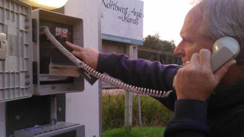
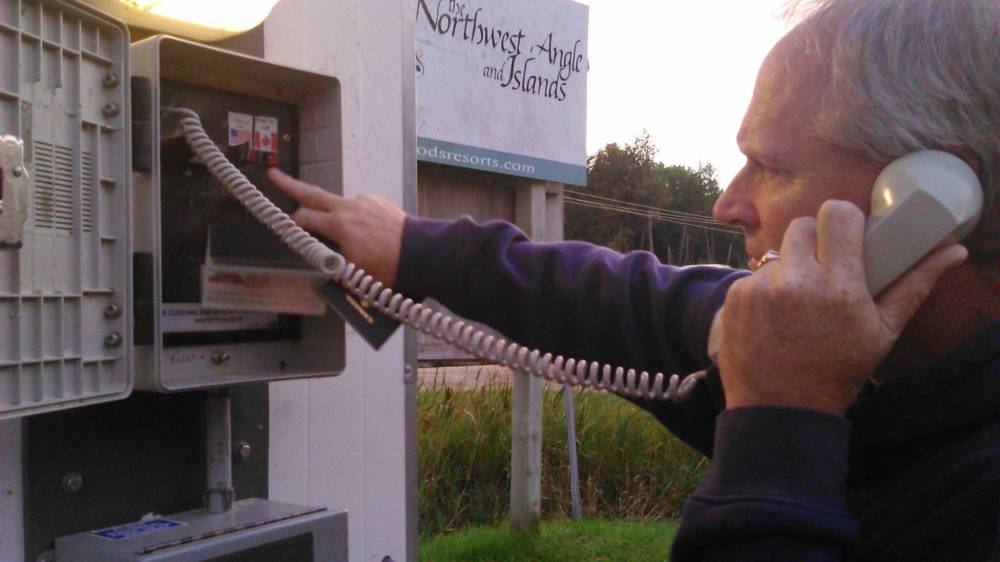
Border clearance involves reading a passport number to a U.S. authority by phone.
But at least they had managed to stay within Canada, right?
Canadian town; American address
I can only read facts so long before I have to check things out for myself. Five years ago I talked Patty into doing a “Terry holiday” which generally involves equal parts exploration, mosquito bites and scratched up legs. I used the carrot that we’d spend a couple of nights in a nice log cabin in the Northwest Angle.
The Northwest Angle is that funny part of Minnesota that juts up into Lake of the Woods. Minnesotans who live there have to drive through Manitoba to get home. During COVID these 120-odd souls became extremely isolated and grumpy. They weren’t allowed to travel through that little corner of Canada to get supplies or connect with friends. Just what the Dawson Road was trying to solve for Winnipeggers.
It was the beginning of the last stretch of the Dawson Road — from Lake of the Woods to Winnipeg — that Patty and I had set out to find on that adventure.
Before we left, I had spent hours studying Google Earth for any trace of the beginnings of the road. I knew steamboats traversing Lake of the Woods would have had to stay north of that imaginary white border line across the water.
The lake got ever narrower along Angle Inlet with the border line running right down the middle. At the very tip of the Inlet, all the lines converge where Minnesota, Manitoba and Ontario meet.
And that must have been the beginning of the Dawson Road, but for all the potential ox-cart trails I could see snaking across my phone, none of them started there. I hoped talking to a friendly Angle-ite would solve the mystery.
As we drove east, there wasn’t much to indicate we were entering the U.S. besides a welcome sign and a slower speed limit of 60. Oh wait, that was miles-per-hour. When we got to the American town, we found the immigration phone and made the requisite phone call to an American border authority somewhere and read off our Canadian passport number. Cleared. I got us checked in at Prothero’s Post Resort and then started pumping Grace, the owner, for information.
Me: Why couldn’t I see an ox-cart trail leaving from the tip of the Inlet?
Grace: Because that’s not where the Dawson Road started.
Me: Hmmm. So where did it start from?
Supplied
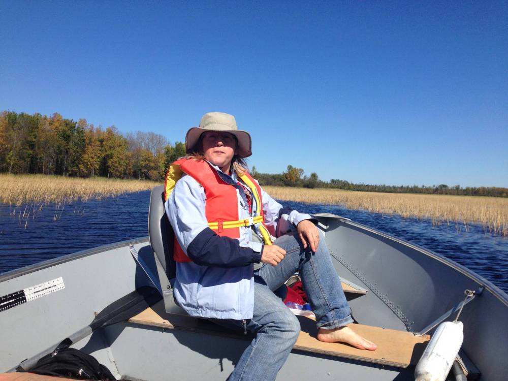
Patty Doerksen checks out Angle Inlet, where the borders of Manitoba, Ontario and Minnesota converge.
Grace: Where Harrison Creek flows into the Inlet.
Me: Impossible. That’s on the U.S. side. The Dawson Road was an all-Canadian route.
Grace: When you go up tomorrow, look for shallow holes in the ground where the buildings used to be. All on the American side. It’s all swamp at the tip of the Inlet and Dawson couldn’t possibly have built his happenin’ little town there.

None of the historical sources I had read made any mention of this minor cartographic discrepancy. But Grace showed me an article from a Minnesota newspaper with the whole story. And when we chugged up the inlet with our rented fishing boat the next day, there were the ruts of the Dawson Road as clear as anything — passing right over the border cutline from the U.S. of A.
I guess Simon Dawson decided he wouldn’t bother the powers that had hired him with that kind of trivia. And I imagine the American authorities turned a blind eye and let the travellers from the east squat on a corner of their land in peace.
Couldn’t we have returned the favour during COVID and just looked the other way when a poor Angle-ite scooted through Manitoba to get a few groceries?
Next week Patty and I plan to re-unite with our ox Zik and travel the Dawson Road to Winnipeg. And just like last year on the Red River Trail this will, apparently, be an international journey.
I think I might just bring along a belated bag of groceries and thank the good citizens of the Northwest Angle for being gracious neighbours.
Related Articles
Looking back on a monumental trip down the Red River Trail

Advertisement Advertise With Us
Advertisement Advertise With Us