

Blast of arctic air over Western Canada could bring wind chill that feels like -55
Advertisement
Read this article for free:
or
Already have an account? Log in here »
To continue reading, please subscribe:
Monthly Digital Subscription
$0 for the first 4 weeks*
- Enjoy unlimited reading on winnipegfreepress.com
- Read the E-Edition, our digital replica newspaper
- Access News Break, our award-winning app
- Play interactive puzzles
*No charge for 4 weeks then price increases to the regular rate of $19.00 plus GST every four weeks. Offer available to new and qualified returning subscribers only. Cancel any time.
Monthly Digital Subscription
$4.75/week*
- Enjoy unlimited reading on winnipegfreepress.com
- Read the E-Edition, our digital replica newspaper
- Access News Break, our award-winning app
- Play interactive puzzles
*Billed as $19 plus GST every four weeks. Cancel any time.
To continue reading, please subscribe:
Add Free Press access to your Brandon Sun subscription for only an additional
$1 for the first 4 weeks*
*Your next subscription payment will increase by $1.00 and you will be charged $16.99 plus GST for four weeks. After four weeks, your payment will increase to $23.99 plus GST every four weeks.
Read unlimited articles for free today:
or
Already have an account? Log in here »
Hey there, time traveller!
This article was published 10/01/2024 (664 days ago), so information in it may no longer be current.
REVELSTOKE, B.C. – Extreme cold and bitter winds are pushing in from the Arctic through Yukon, the Northwest Territories, B.C., Alberta and Saskatchewan, bringing wind chill that feels as low as -55 in some regions.
The warnings of “the first arctic intrusion of the year” from Environment Canada cover parts of the territories and Saskatchewan, much of central and northern British Columbia and all of Alberta.
The forecaster says the arctic air mass has settled over Yukon and the Northwest Territories with temperatures near -40 C and with the wind chill will drop to what feels like -55 before temperatures turn more seasonal by Saturday.
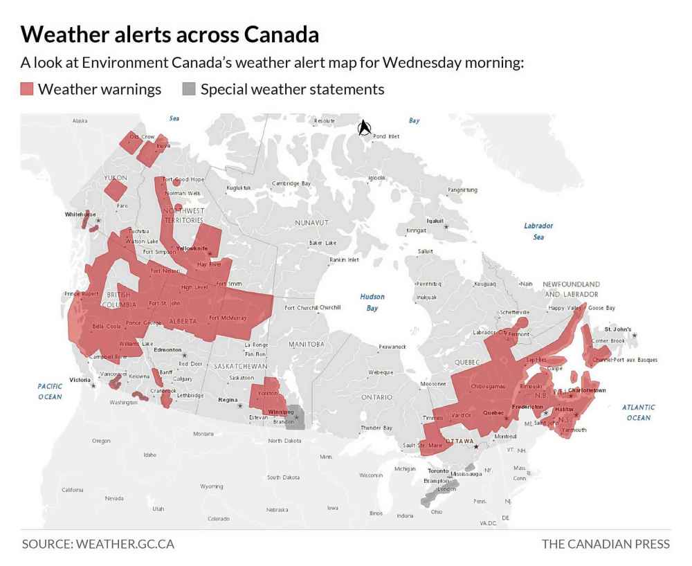
An arctic outflow warning has also been posted for B.C.’s northern and central coast, bringing bitterly cold winds by late Wednesday.
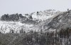
Snow leading up to the warnings triggered multiple crashes on B.C. highways, including an incident where the bus for the Western Hockey League’s Seattle Thunderbirds slid into a ditch near Kelowna, although no one was hurt.
Environment Canada says extreme cold puts everyone at risk, but the risks are greater for children, older adults, people with chronic illnesses, those working or exercising outdoors, and people who don’t have proper shelter.
“Watch for cold-related symptoms: shortness of breath, chest pain, muscle pain and weakness, numbness and colour change in fingers and toes,” Environment Canada says in its forecast.
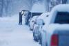
B.C. provincial health officer Dr. Bonnie Henry says people should also budget extra time for travel of any distance to avoid endangering themselves in “treacherous” road conditions.
“Make sure you’re dressed properly for the weather,” Henry says. “Know where warming centres are; look at where you can help in your community and outreach in your community for people who need that support.
“It’s cold and it’s still dark out there now, so it presents unique challenges and health-related risk for all of us, including things like slips and falls to hypothermia and frostbite.”
The arrival of cold in B.C. after a warm start to winter brought snow, wind, the threat of avalanche, storm warnings, high waves, power outages and dangerous highway conditions.
A forecaster with Avalanche Canada said outdoor enthusiasts shouldn’t let their excitement over recent heavy snowfalls override the need for caution.
James Floyer said while some might feel the dump of snow means the “gates to Nirvana have opened” on Western Canada’s mountains, the snow will take until at least Friday to settle and will be particularly susceptible to avalanches in the meantime.
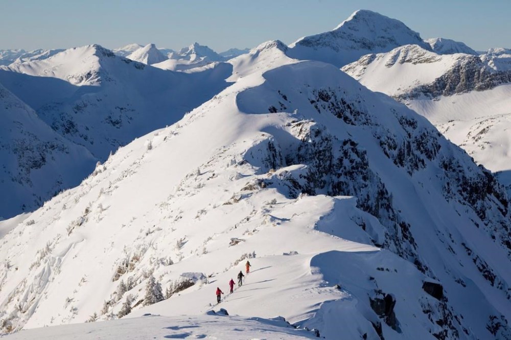
Some areas, including the backcountry around Whistler, B.C., and Golden in the Kootenay region, could be at risk of slides for longer because the fresh snow came on top of a “persistent weak layer” in the snowpack.
Floyer said anyone spending time in the backcountry should keep a close eye on the avalanche forecast.
He said the bitterly cold temperatures forecast for this week could help lower the avalanche risk by binding snow to the mountains.
“It’s absolutely a time to go out into the mountains, but it’s the time to do it cautiously,” Floyer said.
“Enjoy the snow, by all means, but make sure you check the avalanche forecast before you go and make sure you match terrain conditions.”
This report by The Canadian Press was first published Jan. 10, 2024.
Related Articles
City prepares for first significant snowfall of the winter

Advertisement Advertise With Us
Advertisement Advertise With Us