Forecasters warn a Pacific system could soak Hawaii as Tropical Storm Cristobal fades
Advertisement
Read this article for free:
or
Already have an account? Log in here »
To continue reading, please subscribe:

Digital Subscription
One year of digital access for only $205*
- Enjoy unlimited reading on winnipegfreepress.com
- Read the E-Edition, our digital replica newspaper
- Access News Break, our award-winning app
- Play interactive puzzles
*First annual payment billed as $205.00 + GST for one year. This annual subscription will automatically renew at $233.00 + GST every 52 weeks (10% off the regular annual price of $259.35). Offer available to new and qualified returning subscribers only. Cancel any time.
To continue reading, please subscribe:
Add Free Press access to your Brandon Sun subscription for only an additional
$1 for the first 4 weeks*
- Enjoy unlimited reading on winnipegfreepress.com
- Read the E-Edition, our digital replica newspaper
- Access News Break, our award-winning app
- Play interactive puzzles
*Your next Brandon Sun subscription payment will increase by $1.00 and you will be charged $17.95 plus GST for four weeks. After four weeks, your payment will increase to $24.95 plus GST every four weeks.
Read unlimited articles for free today:
or
Already have an account? Log in here »
HONOLULU (AP) — Tropical Storm Cristobal well west of the Azores was expected to dissipate while a Pacific storm system could threaten Hawaii this weekend, forecasters said.
Cristobal formed Wednesday in the Atlantic Ocean.
There were no coastal watches or warnings in effect, the National Hurricane Center in Miami said, and the storm was forecast to dissipate on Thursday.
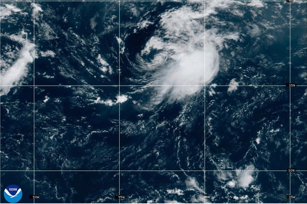
Cristobal was located about 765 miles (1,235 kilometers) west of the Azores with maximum sustained winds of 45 mph (72 kph). It was moving east.
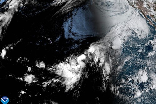
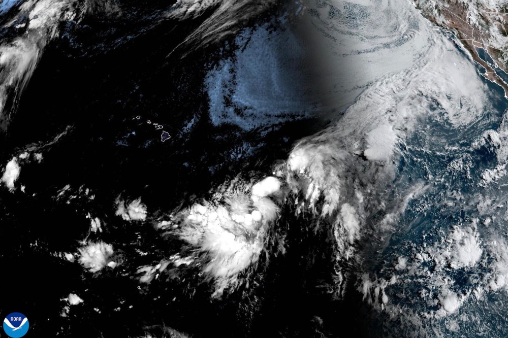
Meanwhile, in the Pacific Ocean, the National Hurricane Center initiated advisories on Potential Tropical Cyclone One-C, which was located about 935 miles (1,504 kilometers) east-southeast of Hilo, Hawaii and packed winds of 35 mph (56 kph).
The center said the system was moving west and was expected to strengthen into a tropical storm Thursday before nearing the Hawaiian Islands. A hurricane watch or tropical storm watch will likely be needed for the islands by early Thursday, forecasters said.
The system could bring rainfall totals of 5 to 10 inches (13 to 25 centimeters) in the island chain, with up to 20 inches (51 centimeters) possible, forecasters said. That could produce flooding and mudslides, the National Hurricane Center said.

It is possible it could make landfall on the southern part of the Big Island as a tropical storm on Saturday, said Laura Farris, a meteorologist with the National Weather Service in Honolulu.
“We want people to be aware and preparing for some kind of tropical cyclone moving close to the islands,” she said.