Tropical Storm Polo forms off southwestern Mexico
Advertisement
Read this article for free:
or
Already have an account? Log in here »
To continue reading, please subscribe:

Digital Subscription
One year of digital access for only $205*
- Enjoy unlimited reading on winnipegfreepress.com
- Read the E-Edition, our digital replica newspaper
- Access News Break, our award-winning app
- Play interactive puzzles
*First annual payment billed as $205.00 + GST for one year. This annual subscription will automatically renew at $233.00 + GST every 52 weeks (10% off the regular annual price of $259.35). Offer available to new and qualified returning subscribers only. Cancel any time.
To continue reading, please subscribe:
Add Free Press access to your Brandon Sun subscription for only an additional
$1 for the first 4 weeks*
- Enjoy unlimited reading on winnipegfreepress.com
- Read the E-Edition, our digital replica newspaper
- Access News Break, our award-winning app
- Play interactive puzzles
*Your next Brandon Sun subscription payment will increase by $1.00 and you will be charged $17.95 plus GST for four weeks. After four weeks, your payment will increase to $24.95 plus GST every four weeks.
Read unlimited articles for free today:
or
Already have an account? Log in here »
MIAMI (AP) — Tropical Storm Polo formed late Sunday off southwestern Mexico.
Polo had maximum sustained winds near 40 mph (65 kph) and was forecast to strengthen rapidly over the next few days, the U.S. National Hurricane Center in Miami said.
Polo was expected to become a major hurricane by midweek.
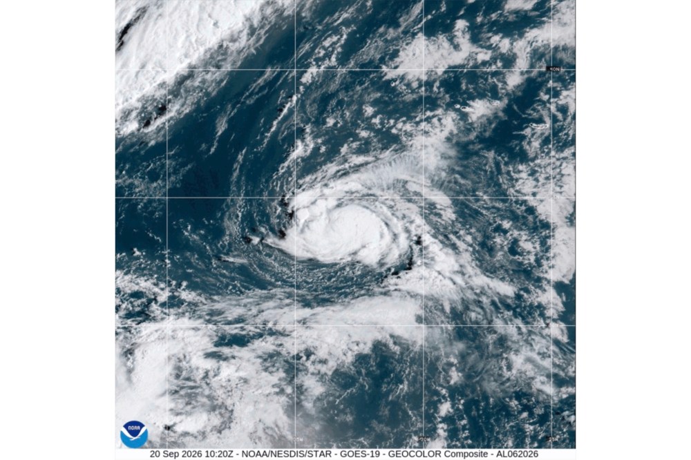
Polo was moving toward the east-northeast near 5 mph (7 kph). A turn toward the east was expected Tuesday and a sharp turn toward the north and northwest on Wednesday.
Heavy rain was forecast for the Mexican states of Michoacán, Colima and Jalisco through Thursday.
Polo was centered about 270 miles (435 kilometers) south of Manzanillo, Mexico, and 270 miles (435 kilometers) southwest of Zihuatanejo, Mexico.
A tropical storm also formed Sunday in the northern Atlantic Ocean, and another in the Pacific, but both were far from land.
Tropical Storm Fay had maximum sustained winds of 70 mph (110 kph) and was centered about 385 miles (620 kilometers) southwest of the Azores. It was near hurricane strength but was forecast to weaken.

Tropical Storm Odalys was far southwest of Mexico, about 1,350 miles (2,170 kilometers) west-southwest of the southern tip of Baja California.
It had maximum sustained winds of 50 mph (85 kph) and was expected to strengthen into a hurricane in the next day or so.